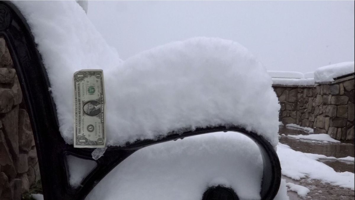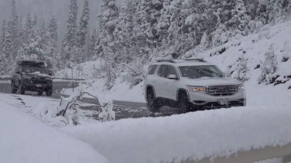
The mountain towns within the Central and Sawtooth Mountains were a little bit too warm too see any of the white stuff fly, but once you were able to get above approximately 6,700 feet, snow started to cover the ground.
At Galena Summit, which is approximately midway between Ketchum and Stanley, saw more than 6 inches of snow. This is at approximately 8,700 feet above sea level, and of course, the higher you are above sea level within this part of the Central and Sawtooth Mountains, the more snow you will see. Luckily, with temperatures last week as well as Saturday in the 70s for highs, the snow wasn't able to accumulate very much on Highway 75. With that noted, the threat of snow is expected to linger around until Tuesday. Another 2-4 inches of snow will be possible, with the majority of the accumulation happening on grassy surfaces, as well as the majestic trees of the Sawtooth National Forest.
While the snow isn't the most common thing to see in southern Idaho for late June, the amount of snow that is accumulating within this specific storm is uncommon.
Luckily, an area of high pressure is expected to move into southern Idaho, and will allow temperatures to warm back-up in this region to the upper 60s and lower 70s by the Fourth of July weekend, and make the snow an afterthought.


Reader Comments