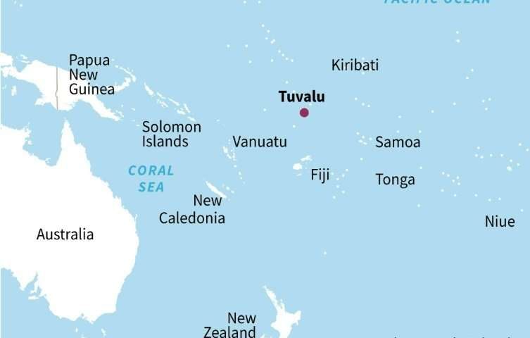
A University of Auckland study examined changes in the geography of Tuvalu's nine atolls and 101 reef islands between 1971 and 2014, using aerial photographs and satellite imagery.
It found eight of the atolls and almost three-quarters of the islands grew during the study period, lifting Tuvalu's total land area by 2.9 percent, even though sea levels in the country rose at twice the global average.
Co-author Paul Kench said the research, published Friday in the journal Nature Communications, challenged the assumption that low-lying island nations would be swamped as the sea rose.
"We tend to think of Pacific atolls as static landforms that will simply be inundated as sea levels rise, but there is growing evidence these islands are geologically dynamic and are constantly changing," he said.

It found factors such as wave patterns and sediment dumped by storms could offset the erosion caused by rising water levels.
The Auckland team says climate change remains one of the major threats to low-lying island nations.
But it argues the study should prompt a rethink on how such countries respond to the problem.
Rather than accepting their homes are doomed and looking to migrate to countries such as Australia and New Zealand, the researchers say they should start planning for a long-term future.
"On the basis of this research we project a markedly different trajectory for Tuvalu's islands over the next century than is commonly envisaged," Kench said.
"While we recognise that habitability rests on a number of factors, loss of land is unlikely to be a factor in forcing depopulation of Tuvalu."
The study's authors said island nations needed to find creative solutions to adapt to climate change that take into account their homeland's evolving geography.
Suggestions included moving populations onto larger islands and atolls, which have proved the most stable and likely to grow as seas rise.
"Embracing such new adaptation pathways will present considerable national scale challenges to planning, development goals and land tenure systems," they said.
"However, as the data on island change shows there is time (decades) to confront these challenges."
More information:
Paul S. Kench et al. "Patterns of island change and persistence offer alternate adaptation pathways for atoll nations", Nature Communications (2018). DOI: 10.1038/s41467-018-02954-1


Reader Comments