OF THE
TIMES
One of my most favourite memories of living in the UK as a child was listening to Brass Bands. I lived in the North of England and they were...
My view is that all sides of these war conflicts are controlled by the globalists. Iran has been under their control since the Shah was disposed...
Hyundai has had this implemented as well.
For decades, after WW2 suspicious activity over Canadian air space has been a controversial area, with lots of tin foil hat speculation regarding...
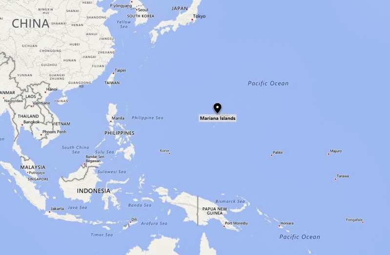
Tragic and very sad. I hope someone can find out what caused it - was it underwater sonar, or other noises that distrurb the whales or something...
To submit an article for publication, see our Submission Guidelines
Reader comments do not necessarily reflect the views of the volunteers, editors, and directors of SOTT.net or the Quantum Future Group.
Some icons on this site were created by: Afterglow, Aha-Soft, AntialiasFactory, artdesigner.lv, Artura, DailyOverview, Everaldo, GraphicsFuel, IconFactory, Iconka, IconShock, Icons-Land, i-love-icons, KDE-look.org, Klukeart, mugenb16, Map Icons Collection, PetshopBoxStudio, VisualPharm, wbeiruti, WebIconset
Powered by PikaJS 🐁 and In·Site
Original content © 2002-2024 by Sott.net/Signs of the Times. See: FAIR USE NOTICE

Reader Comments
to our Newsletter