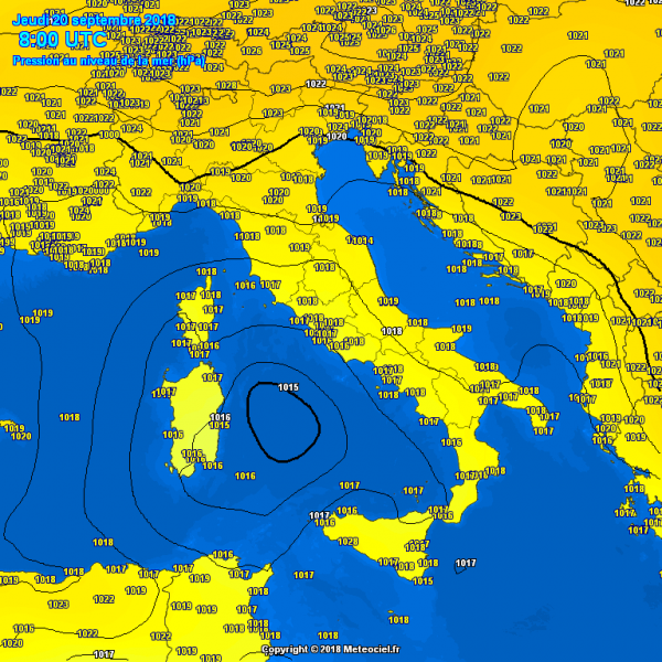
Today's morning radar and satellite analysis: notice the pronounced cirrus clouds outflow across the SW quadrant of the cyclone, as well as interesting behaviour of the convective bands around the sistem.

Interestingy, even 500 mbar maps reveal some signs of a tropical systes, a warm core at this height supports upper level divergence and therefore a good outflow ventilation of the deep convection ongoing below.
Maps provided by www.youmeteo.com and www.meteocief.fr
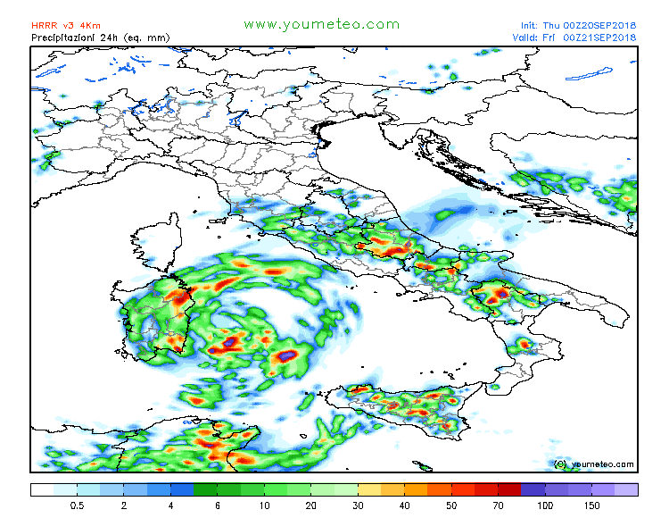
Comparison of rainfall accumulation per HRRR, MNW-WRF, ICON-EU and ARPEGE models. Mostly all models put eastern part of Sardinia into the zone of enhanced excessive rainfall potential, dangerous flash floods threat remains in place!
Maps provided by www.youmeteo.com and www.meteonetwork.it and www.wxcharts.eu
Stay tuned for further updates on this Medicane later today.


Comment: While the US recovers from devastating Hurricane Florence, and parts of Asia recover from the extreme Typhoon Mangkhut, and while the UK and Ireland brace themselves for Storm Bronagh, merely 24 hours after Storm Ali passed, it seems the Mediterranean is up next.
See:
- Storm Ali: Two dead after 100mph winds lash UK and Ireland - UPDATE
- 'Nightmare' Hurricane Florence bearing down on Carolinas; could be worst natural disaster in recorded history for Carolinas and Virginia
- Watch as Super-typhoon Mangkhut wreaks havoc in Philippines, Hong Kong and southern China
(July 2017) Eight tropical cyclones spinning simultaneously in the north Pacific Ocean for first time since 1974(Nov 2017) Storm Numa may become a rare 'medicane' in the Mediterranean Sea