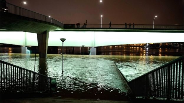
The flood level rose to 5.84m (19.2ft) early on Monday and is not expected to begin receding before Tuesday.
Weeks of rainfall have produced a relentless rise in the water level.
Around 1,500 people have been evacuated from their homes in the greater Paris region, while a similar number of homes remain without electricity.
In 2016, the last significant flood in Paris, the river reached a high of 6.1m.
Seven stations of a main commuter line, the RER C, have now been closed until at least 5 February, and some expressways that run alongside the Seine have been closed.
The city's famous Bateaux Mouches tourist boats are out of service, with only emergency services allowed to use the river.

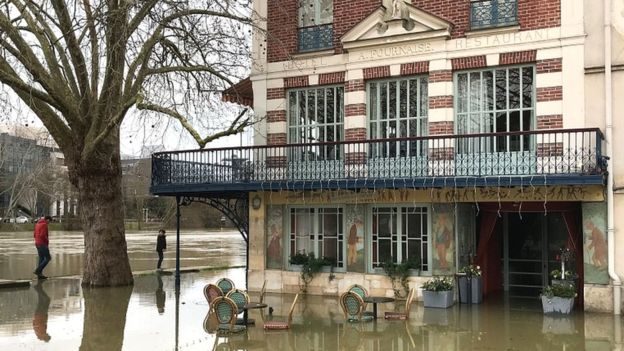
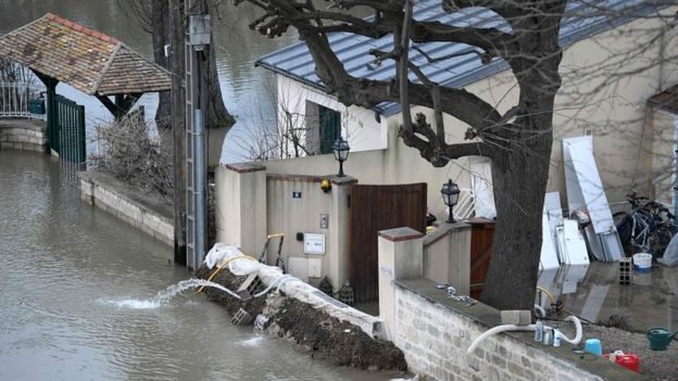
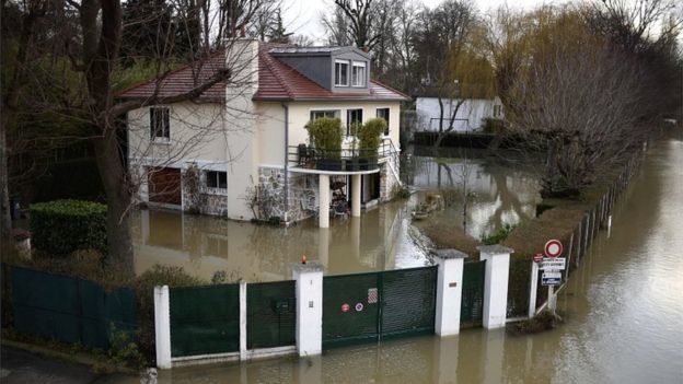
Several areas on the city's outskirts are under water, and some residents are getting around by boat while dozens have been evacuated from their homes. Some schools are closed.
"Everyone is getting around by boat" on the island of Migneaux in Poissy, a western Paris suburb, said local Serge Matikhine.
"The mood is still good, we are used to it - in 20 years we are on our eighth or ninth flood," he told AFP news agency.
Water levels are expected to remain high all week, as more rain is expected to worsen an already waterlogged soil, and towns downstream from Paris are expected to be affected in the coming days.
How is the flood level calculated?
A number of flood gauges are installed along the river, and the one at the Pont d'Austerlitz is used as a general measure.
At the Pont d'Austerlitz, the Seine is about 26m deep, according to the Paris mayor's office.
At that point, the flood scale begins and it is normal for this time of year for the water level to rise by one or two metres, the Franceinfo website reports.
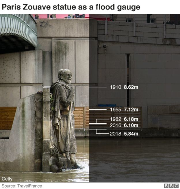
A statue of a French soldier from the Crimean War - known as The Zouave - on the Pont de l'Alma has also long been used as a marker for water levels in the city.
On Saturday afternoon, the water was still well below his waist; during the historically bad floods of 1910, when the city was submerged for two months, it reached his neck.
Comment: As we can see from the above image, extreme flooding is becoming more frequent, with the last one happening in just 2016.


Comment: See this article for more on the flooding in Paris as well as a list of recent flood events from around the world:
Also see from 2017:
- Record rainfall in Paris as summer storms hit France
- Atmospheric compression event in Europe brings heavy snow and biblical flood
And from 2016: Torrential rain delivers flooding from Paris to Prague