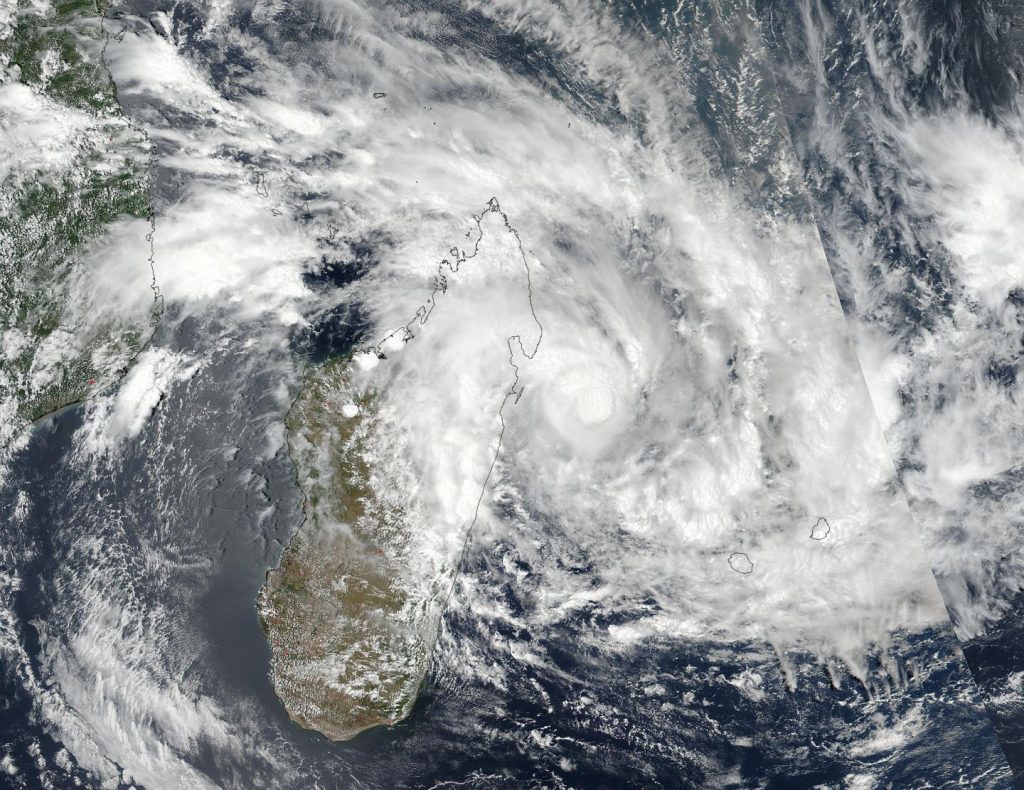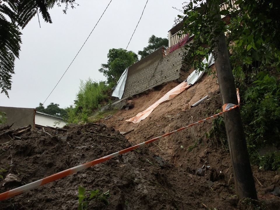
According to reports from the Bureau National de Gestion des Risques et des Catastrophes (BNGRC) in Madagascar, at least 6 people have died and over 15,000 displaced.
Among the worst hit areas are the capital Antananarivo, where at the peak of the storm over 3,200 people were forced from their homes to safer locations. Many areas of Antananarivo are at risk of landslides after heavy rain. As of 08 January, Red Alerts were in place for landslides in several districts of the city.
In Atsinanana Region, flooding has forced over 4,700 people from their homes in Brickaville and around 2,000 in Toamasina.
In Vatovavy Fitovinany Region, flooding has displaced over 1,000 in Mananjary and around 1,350 in Ifanadiana.
BNGRC reports that Storm Ava has continued to move south away from the country and as of 08 January was located 170 km south east of Farafangana. No cyclone alerts are in place, although the risk of mudslides and flooding remains. Levels of some rivers are still high, including the Manapatrana, Mananjary and Matitànana, and there are red alerts for flooding in Atsimo-Atsinanana and Vatovavy-Fitovinany.
Dozens of people died in Madagascar last year when cyclone Enawo hit the country in March 2017.


Reader Comments
to our Newsletter