OF THE
TIMES
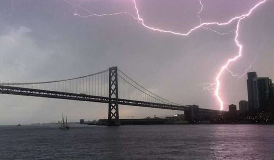
Beautiful and scary at the same time. Wonder when the big one will strike! ☄️ P.S This is probably what happened over Stockton, California.
Hi All, I just finished reading “Grand Deception,” (I highly recommend it) and next wanted to find the documentary that was withheld from release....
Coulda, woulda, shoulda. It seems a bit late now to talk about an unnecessary NATO.
Is there some new sub-human species emerging on this planet? Perhaps the animals such 'human'-animals annihilate will be replaced by these same...
"prolong the agony" Yep.
To submit an article for publication, see our Submission Guidelines
Reader comments do not necessarily reflect the views of the volunteers, editors, and directors of SOTT.net or the Quantum Future Group.
Some icons on this site were created by: Afterglow, Aha-Soft, AntialiasFactory, artdesigner.lv, Artura, DailyOverview, Everaldo, GraphicsFuel, IconFactory, Iconka, IconShock, Icons-Land, i-love-icons, KDE-look.org, Klukeart, mugenb16, Map Icons Collection, PetshopBoxStudio, VisualPharm, wbeiruti, WebIconset
Powered by PikaJS 🐁 and In·Site
Original content © 2002-2024 by Sott.net/Signs of the Times. See: FAIR USE NOTICE

Comment: