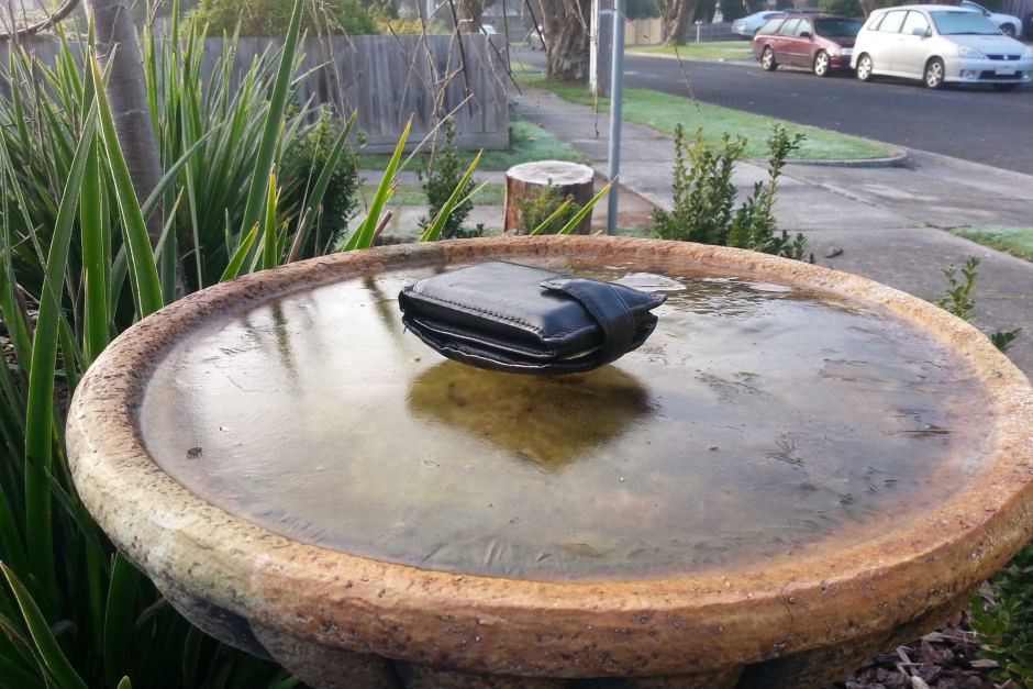
The average top temperature was 13.3 degrees Celsius in July, the lowest mark since 1995, when it was 12.9C.
Temperatures were consistently 1C below the normal average maximum temperature across the state.
The mercury dropped as low as minus 6C in Bendigo.
Melbourne had its coldest morning in 18 years on July 19, when the mercury dropped to just 0.6C in the city.
Weather bureau senior forecaster Richard Carlyon said there had been little respite from the cold.
"We've seen cold fronts move through quite frequently across the month and that's just reinforced the cool air across the state," he said.
"We just haven't seen any spring-like days develop."
He said normally in July or early August there were one or two days with mild temperatures heading up to the high teens.
"We certainly didn't see that this July, particularly in the second half of the month, with cold front after cold front just pushing that cool air across the state," he said.
Wind chill a double whammy
The wind chill also contributed to the apparent temperature feeling much colder at times.
"Just recently in Melbourne we had [a day that was] 11 or 12 degrees but with the fresh north-westerly winds, the apparent temperature was closer to zero," Mr Carlyon said.
"It was a double whammy.
"Not only did the cold fronts deliver cold air across the state we also had the higher winds which meant it felt colder."
Mr Carlyon said there were some very cold mornings in the regions.
"Ballarat experiencing one morning of -6C, and across the north of the state places like Bendigo and Seymour and Wangaratta had early morning temperatures around -5 or -6 degrees [Celsius]."
The cool weather is expected to continue for most of this week, with more cold fronts in store for Monday and Wednesday.
Eventually, those fronts are expected to head south and there should be some milder air from the north.
"Certainly the second half of August, looking at the climate stats, shows that there's a high chance of seeing temperatures close to 20," Mr Carlyon said.


Reader Comments
to our Newsletter