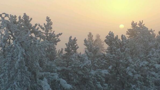
On Monday, a number of provinces faced below-freezing temperatures, as Manitoba, parts of Saskatchewan, northern Ontario and Quebec were all under extreme wind chill warnings.
In Manitoba, where the wind chill made it feel like - 40 C to - 50 C, the cold weather forced at least one airline to cancel some flights. ExpressJet, a partner of United Airlines, cancelled several flights out of Winnipeg Monday night and Tuesday morning.
Airline representatives said the unique combination of extreme low temperatures and ice crystals exceed safe operating guidelines for their aircraft, which are small commuter planes that carry 35 to 70 passengers.
Passengers were moved onto flights operated by other airlines and rerouted through other cities.
Wind chill as low as - 55 C
According to Environment Canada, an arctic ridge of high pressure from northwestern Alberta is responsible for the cold temperatures, with wind chills of - 55 C in some areas of the country, and it doesn't get much better Tuesday and into 2014.
While snowfall warnings remain in effect Tuesday morning in areas of B.C. and Alberta, parts of central through southeastern Alberta will see light snow or flurries, says CBC meteorologist Jay Scotland.
"The eastern Prairies remain locked in a deep freeze again today [Tuesday] with a bitterly cold day (and night) ahead," Scotland says, adding. "Aside from some light snow in southwestern Saskatchewan (two to four centimetres) and possible flurries as far east as Regina, it's at least a quiet day aside from the cold."
.
However, Regina will see the risk of flurries with a high of only - 23 C while the high in Saskatoon will be - 26 C.

Wind chill warnings are also in effect in Ontario and Quebec, across northern portions of both provinces, Scotland says.
"While it at least stays clear - albeit very cold - to the north, southern Ontario will pick up light snow and flurries today with amounts generally less than three centimetres, although a strong westerly flow will lead to locally higher amounts off the lakes with snow squall watches in effect from Goderich to Parry Sound, and these extend east through parts of the Kawartha Lakes."
Frostbite warnings in effect in several regions
Bitterly cold arctic air combined with moderate west winds to result in extreme wind chills of - 45 C to - 50 C across much of northern Ontario, Environment Canada said Monday. Several regions have issued frostbite warnings. In Thunder Bay, the district health unit warned people that at a wind chill of - 40 C, skin can freeze in about five minutes.
Environment Canada said a new record was set in Thunder Bay Tuesday morning when a wind from the southwest of about 15 km/h combined with a temperature of - 37 C to create a wind chill of - 51 C. The city's previous record for Dec. 31 was set in 1967 when the wind chill got down to - 49.7 C.

Ottawa, where the wind chill made it feel like - 30 C early Tuesday morning, also issued a frostbite advisory. The nation's capital was expecting a high of - 14 C during the day and a low of - 21 C overnight, without the wind chill.
Signs of frostbite include skin that is pink and feels prickly and grey and white patches on the skin.
But Ottawa residents brave enough to venture out into the cold will at least be able to use the Rideau Canal Skateway to get around. A 3.2-kilometre stretch of the ice route between the Bank Street bridge and Concord Street will open at 2 p.m. ET Tuesday, the earliest in the season that the Skateway has opened since 2004.
Parts of N.B., P.E.I. still without power
In southern Quebec, areas including Saguenay could see temperatures plummet to - 27 C, with a wind chill of - 38 C.
On Tuesday, there will be light snow Tuesday morning in Toronto and a high of - 6 C. Just over 100 people in the city remain without power as a result of the devastating ice storm that hit four days before Christmas and left 300,000 without electricity.

Eastern Canada, meanwhile, is still recovering from the effects of the ice storm. Recovery efforts were set back when a new winter storm hit overnight from Sunday to Monday. New Brunswick was still struggling to restore power to about 2,000 homes, with NB Power crews hoping to have most customers back online by late Tuesday night.
In P.E.I., where several dozen people were still without power Monday night, authorities warned residents to have emergency kits on hand with enough bottled water and non-perishable food to last 72 hours in case of additional power outages.


Thank god for global warming!
Sarcasm intended.