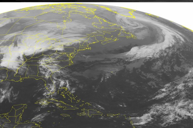
"It's a classic spring storm in many ways," Mark Fuchs of the National Weather Service said. "There's a wide variety of weather, a big temperature difference." Consider St. Louis. On Wednesday the temperature reached 85 degrees. Strong storms passed through on Thursday, and by Friday, the temperature is forecast to be around 40 degrees.
There were no immediate reports of deaths related to the vast array of foul weather around the country. Chicago was pummeled by an all-night rainstorm that ripped open a sinkhole large enough to swallow three cars and injuring one driver badly enough that he had to be hospitalized. Police spokesman Mike Sullivan said the gaping hole opened up in a street on the city's South Side, near Lake Michigan.
The injured man was driving when the road buckled and caved in. He was taken to Northwestern Memorial Hospital with non-life threatening injuries. The other two cars were parked.
Flooding has also forced authorities to close sections of several major expressways around Chicago, canceled classes at some schools and scrapped hundreds of flights at O'Hare International Airport. The rain gauge at O'Hare showed 5 inches of rain, and two more inches were expected Thursday.
Winds, possibly from a tornado, damaged dozens of homes in Spavinaw, Okla., injuring one person. Another twister damaged a few buildings near Paris, Mo. High winds also blew two tractor-trailers off a highway near Monroe City, Mo.
Up to a foot of new snow was expected in northern Minnesota. Duluth has already received 24 inches of snow this month, and the additional snowfall could push it past the April record of 31.6 inches set in 1950. Winter storm warnings were also posted for parts of North Dakota and South Dakota. Snowstorms have been crossing the Dakotas for the past week, dumping record amounts of snow in some areas.
A section of Interstate 80 in Wyoming was closed by slick conditions and blowing snow. The Wyoming Department of Transportation warned drivers to watch for black ice.
Flash flooding was reported in many places. The Oklahoma Highway Patrol briefly shut down a section of U.S. 69 Thursday morning because the highway was underwater. Several roads in Iowa and Michigan were also shut down because of flash flooding.
Several rivers were lapping over their banks, including the biggest one, the Mississippi. In Hannibal, Mo., the flood gates were installed in open sections of the levee that protects the Mark Twain sites and the rest of downtown. Emergency management director John Hark said he was in "full flood fight" mode.
The river was expected to climb nearly 10 feet above flood stage by the middle of next week in Hannibal, Louisiana, Mo., and other river towns north of St. Louis.
Making flood concerns even worse: Forecasters are calling for the heavy rain to continue in many places into Friday morning.
Strong storms rolled through the St. Louis area during the morning rush Thursday, snarling traffic with water over several roadways. Winds up to 60 mph caused scattered damage.


Reader Comments
to our Newsletter