NASA atmospheric scientists got an unexpected chance to study a curious phenomenon called "thundersnow" when a recent storm unleashed it right over their heads.
Walt Petersen and Kevin Knupp have traveled far and wide to study winter storms. They never dreamed that the most extraordinary one they'd see - featuring freakish thundersnow, a 50-mile long lightning bolt, and almost a dozen gravity waves -- would erupt in their own back yards. The storm hit Huntsville, Alabama, on the evening of January 9th.
"This incredible storm rolled right over the National Space Science and Technology Center where we work," says Knupp. "What luck!"
Snowstorms usually slip in silently, with soft snowflakes drifting noiselessly to Earth. Yet this Alabama snowstorm swept in with the fanfare of lightning and the growl of thunder.
Eyewitness Steve Coulter described the night's events: "It was as if a wizard was hurling lightning behind a huge white curtain. The flashes, muted inside thick, low hanging clouds, glowed purplish blue, like light through a prism. And then the thunder rumbled deep and low. This was one of the most beautiful things I've ever experienced.'"

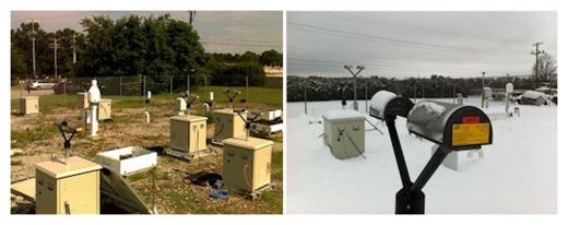
It was a once-in-a-lifetime scene for anyone lucky enough to see it, but especially enthralling to scientists seeking the keys to nature's unique displays of power. Petersen and Knupp, with the help of graduate students from the University of Alabama-Huntsville, had their research equipment primed and ready.
From his at-home workstation, Petersen can monitor lightning detector networks and control radars, which he used to measure and record the storm. But when the storm first hit his response was a little less scientific: "I was so excited that I ran outside in my house slippers to take pictures," he recalls. At around 10:30 p.m., he heard the first rumble of thundersnow. "My first thought was, 'excellent, a bonus!'"
What made this snowstorm act like a thunderstorm? Petersen explains:
"You rarely have lightning in a snowstorm. But in this case, some unique conditions set the stage for it. Moist air at the bottom of the storm was lifted up, rapidly forming snow and ice. Some of the snow even grew in pellet forms called 'graupel,'" he says.
Snowflakes and ice pellets of different sizes ascended at different rates--and they began to exchange charges. The process isn't fully understood, but it could be a result of particles rubbing together (like wool socks on carpet). As the cloud charged up, it began to act less like an ordinary winter snowstorm and more like a summer thunderstorm.

"There was a nearly constant, uniform progression of gravity waves, starting at Monte Sano, a small mountain a few miles east of us, and moving westward, right over our building," says Knupp, who spent most of the storm's duration with his eyes riveted on instrument displays inside the team's mobile X-band radar van. "An easterly flow of air on the other side of the mountain ridge bumped into and was pushed over Monte Sano, forming 11 separate waves, about one per hour."
He believes the clockwork up and down motion of the waves created variations in the updrafts responsible for the heavy snow, leading to the charge separation that generated lightning. Unfortunately, he was knee-deep in computer displays instead of snow when the storm's most impressive lightning bolt set the sky aglow.
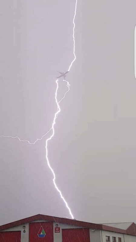
"This bolt reached from the tower on Monte Sano Mountain all the way to Molton, Alabama, about 50 miles away," says Knupp. "And I missed it."
Was he disappointed?
"I felt cheated, but it was worth the trade off. I learned some interesting things."
Spoken like a true scientist.


Look up Kelvin generators, this might help explain how the charge builds up.