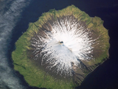
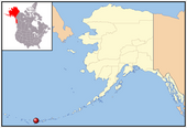
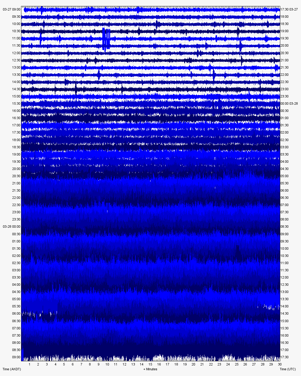
This time it appears to be Mount Gareloi. Something big is going on there seismically. The webicorder is going nuts.
Update: I double checked the webicorder to see if it was still operating, and it appears to be. Still no word on the AVO website about the status of Gareloi.
Seismic station GAEA is 3.3 km (2.0 miles) from the summit of Mount Gareloi. The seismic station is operating since March 26, 2009 as power was restored to the telemetry hub in Adak.
Caveat: This may be an eruption, it may be wind noise from a poorly secured recorder, it also may be "business as usual" for this volcano, see this:
| Title: | High Levels of Non-Eruptive Seismicity at Mount Gareloi Volcano, Alaska |
| Authors: | Caplan-Auerbach, J.; Prejean, S. G. |
| Affiliation: | AA(Alaska Volcano Observatory, USGS Alaska Science Center, 4200 University Dr., Anchorage, AK 99508 United States ; jca@usgs.gov), AB(Alaska Volcano Observatory, USGS Alaska Science Center, 4200 University Dr., Anchorage, AK 99508 United States ; sprejean@usgs.gov) |
| Abstract | |
| Since 2003 when a seismic network was installed on Mount Gareloi, a remote Aleutian stratovolcano ~150 km west of Adak, AK, hundreds to thousands of earthquakes have been recorded daily. Catalog locations show a wide scatter around the edifice at depths ranging from 0-10 km. Gareloi earthquakes are typically long-period, although volcano-tectonic and hybrid earthquakes also are observed. Unlike earthquakes observed at other volcanoes with high levels of seismicity, such as Shishaldin, AK and Mount St. Helens, WA, the time series of individual events are different at Gareloi and likely do not represent a repeating source. Source processes such as bubble bursts, dome growth or conduit oscillation may thereby be ruled out as the sole seismic source at Gareloi. We present a new velocity model and high-resolution relocations for Gareloi seismicity and discuss the possible source processes responsible for the wide variety of seismic events. Gareloi erupts alkali-rich basalt and basaltic andesite from two active peaks, the southernmost of which contains an active fumarole field. The last large eruption (ash plume > 7 km high) of Gareloi occurred in 1982, but several small tephra plumes were observed in the 1980's, with one unconfirmed plume described in 1996. Despite the exceptionally high level of seismicity recorded at Gareloi, other indicators of unrest, such as increased steaming or thermal anomalies in satellite data, have not been observed since the seismic network was installed. However, on September 2, 2005 a 70-minute period of volcanic tremor was recorded following a five day period of intense seismicity and could represent a small eruption. The amplitude of earthquakes at Gareloi declined immediately following the tremor, but the rate remained approximately the same, at ~1 earthquake per minute. This seismic sequence provides new insight into the potential source mechanisms associated with Gareloi seismicity and could allow us to better evaluate Gareloi's eruptive behavior. | |


Reader Comments
to our Newsletter