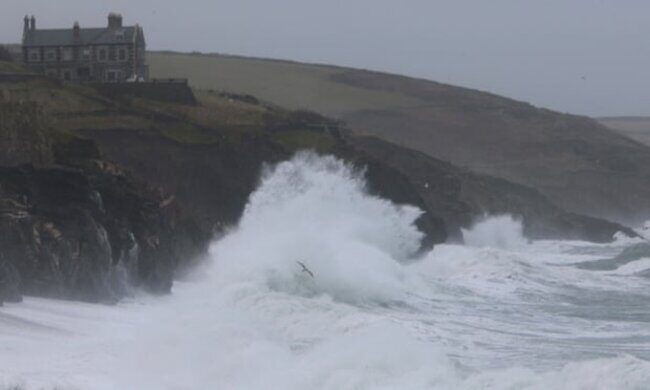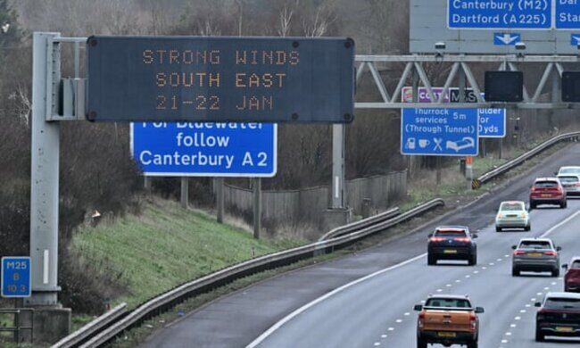
The storm battered the UK with heavy rain and gusts of up to 99mph with the entire country subject to wind warnings issued by the Met Office.
Northern Ireland Electricity Networks said 45,000 customers were without power, while Electricity North West said thousands of properties in north-west England had lost their supply.
Widespread power cuts in the Republic of Ireland were affecting more than 170,000 properties.
Fallen trees have affected transport, with Traffic Scotland reporting that stretches of the M9 and M74 were among roads closed throughout the night, while the A1 southbound was closed at Thorntonloch due to an overturned lorry.
High winds forced the closure of the Tay Road Bridge, M48 Severn Bridge and the A66 in Durham and Cumbria between the A1(M) and the M6, while the Humber Bridge, A19 Tees Flyover and A628 Woodhead Pass in Derbyshire were closed to high-sided vehicles.

A Network Rail spokesperson said: "Hundreds of engineers are already out, armed with chainsaws and cherrypickers to remove and repair.
"Once done, route-proving trains will be dispatched before passenger services can restart.
"It's been a wild night, but passengers and railway staff have been kept safe and we will work tirelessly to get the railway back on its feet as quickly as we can."
Lines in England and Wales have been cleared and "a good service is expected in most areas" on Monday, he added.
East Midlands Railway has said delays and alterations to its services are likely, while no LNER trains will run north of Newcastle until noon.
Avanti West Coast warned of changes and delays on Monday and said no passengers should attempt to travel between Preston and Scotland until services are due to resume at 9am.

Agencies across Cumbria declared themselves on stand-by for a major incident, with Sellafield nuclear site closing as a precaution on Sunday.
One person was struck by falling debris after scaffolding became dislodged in Belfast. They were treated at the scene by emergency services.
The Met Office said the highest recorded wind speed during Storm Isha was 99mph at Brizlee Wood in Northumberland, with gusts of 90mph at Capel Curig in Snowdonia on Sunday.
A rare red warning for wind in north-east Scotland was in place until 5am on Monday, with amber warnings covering much of the UK until 6am and further yellow warnings covering the entire country until noon.
A further yellow warning for wind for Scotland, Northern Ireland, north Wales and northern England is active from 4pm on Tuesday until noon on Wednesday.
The Police Service of Northern Ireland said the weather was putting "significant pressure" on the 999 system and urged people to report non-emergencies online or by calling 101.
The Met Office said Storm Isha - the ninth named storm to hit the UK since the season began in September - is expected to pull away through the day, although it is likely to remain windy with a mixture of sunny spells and scattered showers.
Showers are expected to be heaviest and most frequent in the north and west on Monday, but easing with a dry night except in north-west England, and winds also easing.
A bright start to Tuesday will give way to cloud and rain moving in from the west and winds increasing with severe gales possible.


Comment: There has been one fatality so far: