OF THE
TIMES
I've had enough of someone else's propaganda. I'm for truth, no matter who tells it. I'm for justice, no matter who it's for or against. I'm a human being first and foremost, and as such I am for whoever and whatever benefits humanity as a whole.
Those professionals working in the hospitals during 'covid' had nothing to do, so they posted lame videos of themselves doing pathetic dance...
Excellent commentary on what the U.S./World might see during a 'Health Emergency Declared' under Trump, if he gets re-elected. [Link]
Data shows very clearly that CO2 follows temperature, albeit with a slight lag. The science is already settled, 'global warming', 'climate...
Perhaps some people may understand now why the Zionists have said long ago: constant remembrance of the holocaust is necessary in order to bring...
This should pinpoint some things [Link]
To submit an article for publication, see our Submission Guidelines
Reader comments do not necessarily reflect the views of the volunteers, editors, and directors of SOTT.net or the Quantum Future Group.
Some icons on this site were created by: Afterglow, Aha-Soft, AntialiasFactory, artdesigner.lv, Artura, DailyOverview, Everaldo, GraphicsFuel, IconFactory, Iconka, IconShock, Icons-Land, i-love-icons, KDE-look.org, Klukeart, mugenb16, Map Icons Collection, PetshopBoxStudio, VisualPharm, wbeiruti, WebIconset
Powered by PikaJS 🐁 and In·Site
Original content © 2002-2024 by Sott.net/Signs of the Times. See: FAIR USE NOTICE


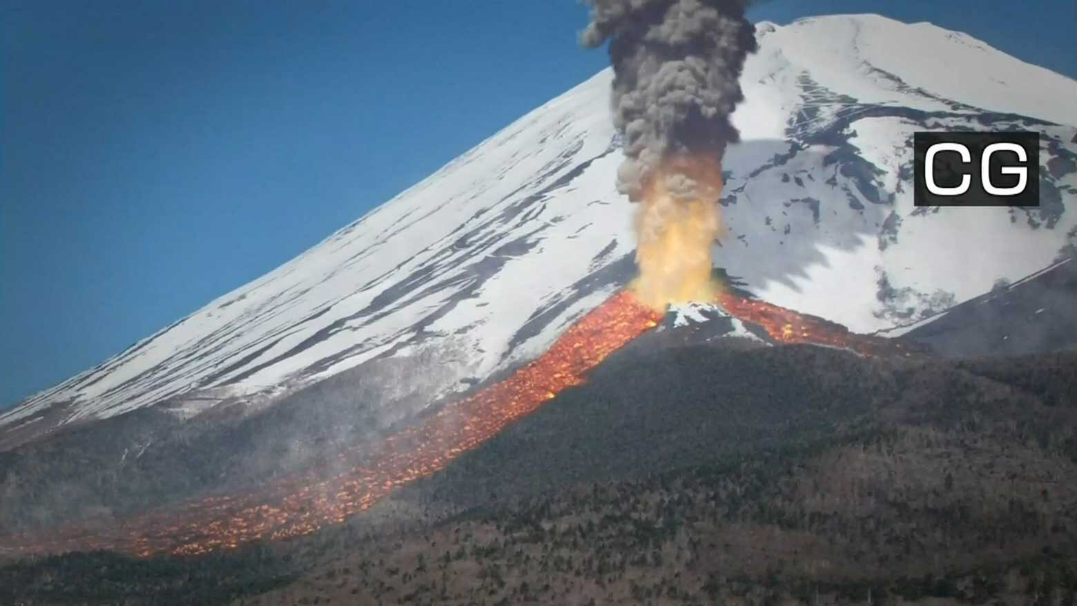
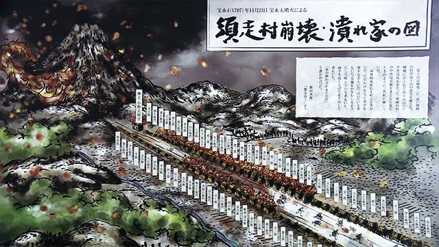
Comment: Considering the worldwide uptick in volcanic activity, with much more predicted to come, this is is a rather timely warning for residents: 34,000 quakes in two weeks near Fagradalsfjall volcano, Iceland - 900% increase in activity compared with whole of 2020