OF THE
TIMES
Briefly stated, the Gell-Mann Amnesia effect is as follows. You open the newspaper to an article on some subject you know well... You read the article and see the journalist has absolutely no understanding of either the facts or the issues. Often, the article is so wrong it actually presents the story backward—reversing cause and effect...
In any case, you read with exasperation or amusement the multiple errors in a story, and then turn the page to national or international affairs, and read as if the rest of the newspaper was somehow more accurate about Palestine than the baloney you just read. You turn the page, and forget what you know.
"I felt like I was staring at a soulless monster, " Daniel, an actor, says of his alleged sexual assault by Kevin Spacey That is exactly what he...
Seriously? to answer the question how knowledge and technologies spread in early periods of human history and how this was related to social...
Bill Gates is AC (artificially created), one of many to fill the suits and ACT like "super intelligent" strawmen to help push the agenda, Musk is...
The Czech authorities reportedly dismissed these arguments by claiming that any tit-for-tat response on Moscow's part would somehow be a violation...
Trump Forced To Wear Hannibal Lecter Muzzle For Gag Order Violations ·May 6, 2024 [Link]
To submit an article for publication, see our Submission Guidelines
Reader comments do not necessarily reflect the views of the volunteers, editors, and directors of SOTT.net or the Quantum Future Group.
Some icons on this site were created by: Afterglow, Aha-Soft, AntialiasFactory, artdesigner.lv, Artura, DailyOverview, Everaldo, GraphicsFuel, IconFactory, Iconka, IconShock, Icons-Land, i-love-icons, KDE-look.org, Klukeart, mugenb16, Map Icons Collection, PetshopBoxStudio, VisualPharm, wbeiruti, WebIconset
Powered by PikaJS 🐁 and In·Site
Original content © 2002-2024 by Sott.net/Signs of the Times. See: FAIR USE NOTICE

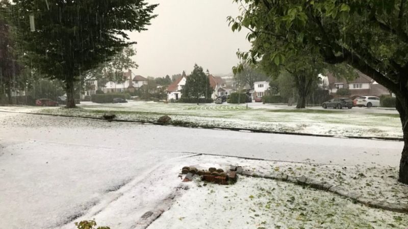
Comment: British astrophysicists: "mini ice age is accelerating - New 'Maunder Minimum' has begun," look at changes in Beaufort Gyre