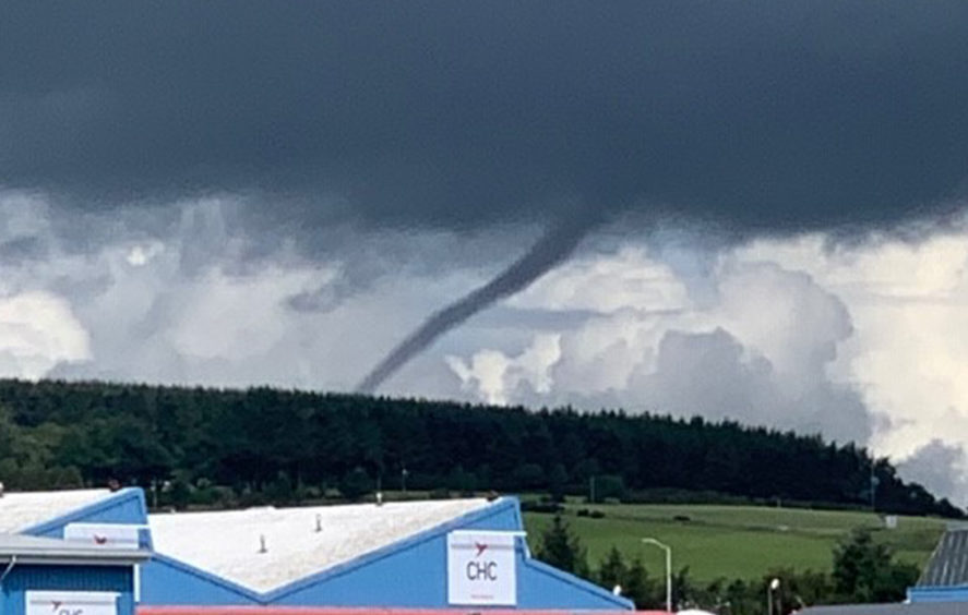
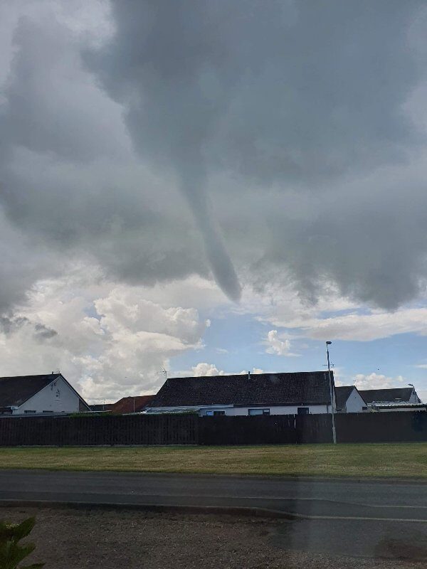
Thought to be a funnel cloud, the weather pattern is the first step towards the development of a tornado.
It is only when the cloud makes contact with the ground that it can be described as a tornado or, if it lands at sea, what is known as a waterspout.
When that does happen, the pressure of the clouds forms a "vortex", suddenly generating high-powered and extremely destructive winds to swirl around it.
@JudithRalston managed to capture this today from Dyce Aberdeenshire. pic.twitter.com/lWFdN0BfAU
— Poppa. (@worrylist) June 29, 2020
It is thought a funnel cloud appeared over Dyce, rather than it connecting with the earth's surface to form a tornado.
A Met Office spokesman said it was difficult to provide a conclusive answer.
He said: "Because of the horizon being obstructed by the hill, it is hard to say, but it looks like a funnel cloud.
"If you could see the full horizon you would be able to see if it was a tornado or not."
In the UK, funnel clouds generally look more like "thin, dangling" ropes rather than the thicker and more intense systems more commonly seen in the US - and the movies and television shows set there.
However, tornadoes are not nearly as rare in the UK as you may think.
The Met Office says between 30 to 35 typically form in the skies over the UK every year, but added it is "very rare" they are strong enough to cause any severe damage to people or property.
A funnel cloud was also spotted over Hatton of Fintray shortly after 11am and shows the cone-shaped cloud reaching towards the ground.
And Florin Nedelea captured this amazing image in Cruden Bay.
Have just been sent a video of the funnel cloud at Cruden Bay Beach this afternoon.
— Ben Philip (@BenPhilip_) June 29, 2020
Funnel clouds only become tornadoes if they touch the ground. Alternatively they become a waterspout if in contact with water. 🌪
[Video: Ally Deans] pic.twitter.com/Brs2ZISwP0
There were also reports of sightings in Inverurie and Methlick.


Reader Comments
to our Newsletter