The Kona area saw the most activity with the inclement weather resulting in 1.16 inches of rainfall at Ellison Onizuka Kona International Airport at Keahole, according to the National Weather Service. Kaloko-Honokohau registered 0.84 inches of rainfall.
In Ka'u, Kapapala Ranch recorded 2.25 inches and Pahala 3.26 inches. Closer to the island's summits, Pohakuloa Training Area and Waikii each saw just under a half-inch of rain.
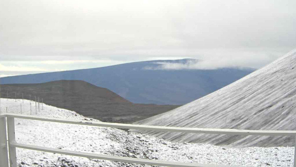
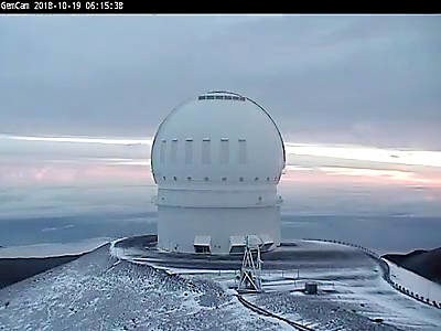
Some of the "blow-offs" from the storm spilled over to the summits, leaving a light dusting of snow at the higher elevations.
The Maunakea Access Road was open as of 9:15 a.m. Friday, according to the Maunakea Weather Center.
A strong upper-level disturbance will continue to bring unsettled weather to most of the islands — particularly the Big Island — this weekend and possibly through Wednesday, forecasters said.
A flash flood watch will remain in effect through this afternoon.


Reader Comments