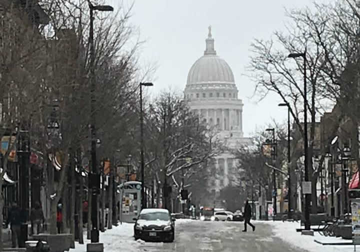
Scores of records for both snow and cold have fallen. Minneapolis; Madison, Wis.; and Marquette, Mich., are among the many towns and cities experiencing their coldest-ever April. And Minneapolis; Sioux Falls, S.D.; and Green Bay, Wis., were recently dealt record snowfalls for the month.
And, with the wintry pattern lingering for a few more days, more records for extreme winter weather are likely to fall.
Winter weather advisories and winter storm warnings stretch from southwest South Dakota to southeast Wisconsin Wednesday as the latest storm dumps several additional inches of the snow on the winter-fatigued region.
The cold and snow have been so persistent and disruptive that they are challenging the tenacity of Midwesterners, no strangers to long winters.
"Here in Ann Arbor, the attitude is a collective fuming," tweeted Micheline Maynard. "I was about to switch out my snow tires, and it still isn't time to do so."
"I live in Minneapolis, and I am so over this Winter," tweeted Paul Weimer. "I mean, living in Minnesota, ice and cold and snow are the thing ... but there are limits!"
Another resident admitted to reaching a breaking point. "I'm convinced winter is never going to end," Twitter user Molly said. "We've been dealing with it by complaining and eating (and drinking) a lot, ha."
A viral video from Grand Rapids, Mich., shows a meteorologist unleashing an epic rant after his frustrated colleagues keep complaining about the forecast:
Garry Frank's Weather RantThe harsh conditions have contributed to the postponement of a record number of Major League Baseball games during April and many other outdoor events.
Are you tired of the cold weather? Garry Frank is tired about you (and his co-anchors) complaining about the weather.
Posted by FOX 17 on Tuesday, April 10, 2018
The brunt of the cold has hit the Dakotas, Minnesota, Iowa and Wisconsin, which have coped with conditions colder than Alaska.
How cold has it been this month? Through the first half of April a large swath of the Lower 48 was warmer than Anchorage, Alaska. A sizable area was even colder than Fairbanks, Alaska! @AlaskaWx pic.twitter.com/g4biThou0D
— Brian Brettschneider (@Climatologist49) April 17, 2018
But much of the eastern two-thirds of the Lower 48 has been colder and snowier than normal.
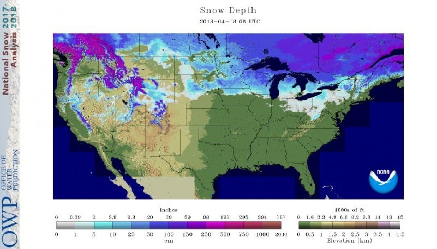
As of April 18, nearly one-quarter (24.3 percent) of the Lower 48 is covered in snow, second most on record to 2013, in records dating back to 2003.
Here are some of the specific records and near-records recently set for both cold and snow:
Cold extremes
- Minneapolis has posted 11 days with temperatures below 30 degrees this month, the most on record in April by four days. Its average temperature so far this month (April 1-17), of 28.2 degrees, is the coldest on record by almost four degrees.
- The average temperature in Madison so far this month of 31.1 degrees, is the coldest on record, and about 13 degrees below normal.
- The average temperature in Marquette so far this month of 21.8 degrees, is the coldest on record by more than four degrees.
- Chicago has seen lows fall below to 30 degrees or lower 13 times this month, the most on record. It has posted nine days with highs below 40 degrees, tied for the third most on record in April.
- Many cities in the interior Northeast have yet to see temperatures in March or April match levels reached in February.
Snow extremes
- Minneapolis received 15.8 inches of snow April 13-16, its largest April snow event on record and 12th biggest snowstorm in recorded history.
- Green Bay, with 24.2 inches, posted its largest April snowfall on record April 13-16, crushing the previous record of 11.0 inches from April 4 and 5, 1977. It was the city's second biggest snowstorm ever recorded in any month.
- Sioux Falls, S.D., received 13.7 inches of snow on April 14, its largest April snowfall on record.
- Erie, Pa. is within 1.5 inches of becoming the first big city (with a population of at least 100,000) to receive 200 inches of snow in a season. Accumulating snow is in the forecast on Thursday.
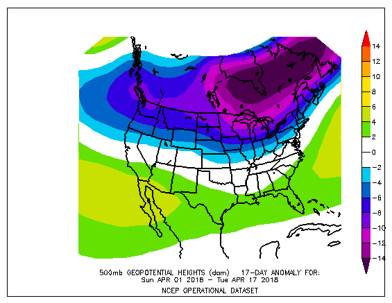
The cold, snowy pattern is the result of a huge dip in the jet stream over the eastern two-thirds of the nation. The jet stream's dip became established in early March and has only slowly retreated northward.
A deep pool of cold air has lingered over eastern Canada, aided by extensive, yet-to-melt snow cover, which weather systems plunging into the Lower 48 have tapped.
While northeastern North America has been colder than normal in April, most of the rest of the Northern Hemisphere, the Arctic in particular, has been warmer than normal.


Reader Comments
to our Newsletter