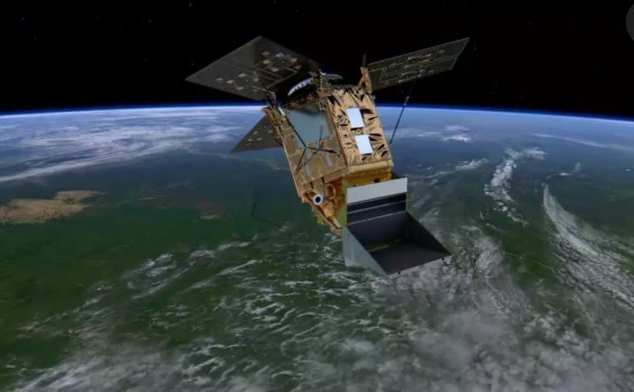
On October 13, this year, the ESA launched its UK-built Sentinel-5P, a pollution monitoring satellite. Sentinel-5P is the first Copernicus satellite solely dedicated to monitoring the Earth's atmospheric chemistry, 24-hours a day, every day., and it has lived up to its name.
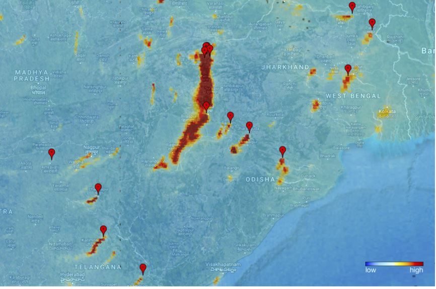
The satellite's instruments, as it orbits over 800 kilometers (497 miles) above Earth, produces one million gigabytes of data that's about the same as 213,000 DVD movies. Pollutant levels are measured across individual countries, providing data on Ozone NO_2, SO_2, Formaldehyde, Aerosols, Carbon dioxide, Methane, and Clouds, according to the ESA website. The monitoring is in support of air quality, climate, and ozone operational monitoring programs.
In a statement, ESA says that "even though the satellite is still being prepared for service, these first results have been hailed as exceptional and show how this latest Copernicus satellite is set to take the task of monitoring air quality into a new era."
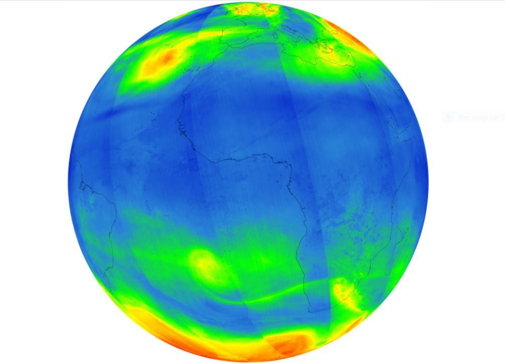
The images show high concentrations of nitrogen dioxide over parts of Europe. This yellowish-brown gas is produced by vehicle emissions and some industrial processes.
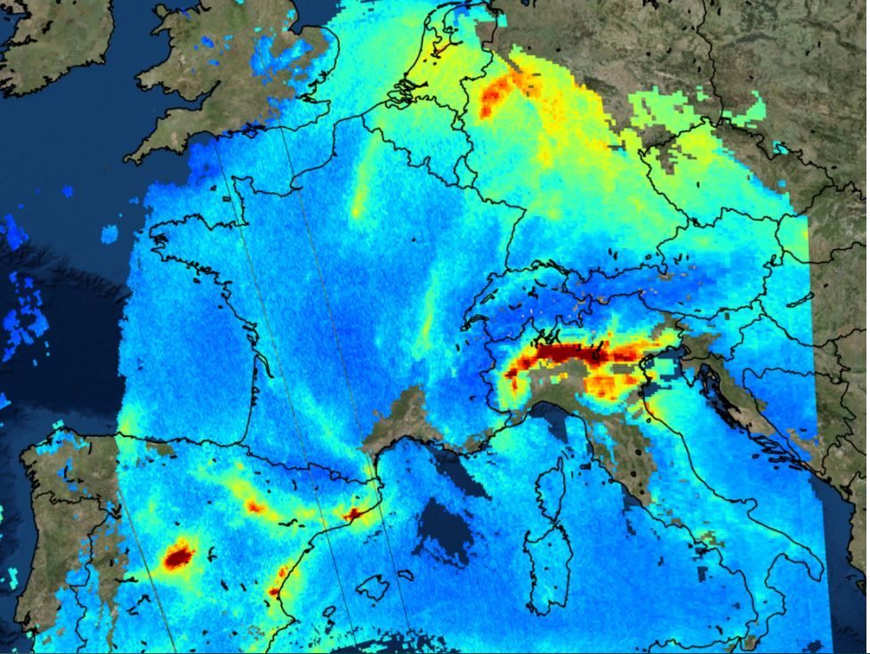
Josef Aschbacher, ESA's Director of Earth Observation Programmes, said, "Sentinel-5P is the sixth satellite for the EC Copernicus environmental monitoring programme but the first dedicated to monitoring our atmosphere. These first images offer a tantalizing glimpse of what's in store and are not only an important milestone for the Sentinel-5P mission but also an important milestone for Europe."



Reader Comments