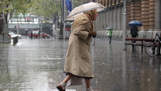
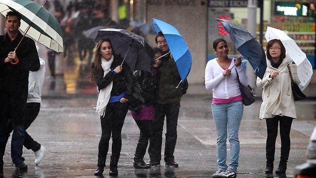
Downpours are playing havoc with roads and public transport across the state, while floods have trapped people in their cars.
Police and Emergency Services Minister Michael Gallacher has added Lithgow, west of the Blue Mountains, Kiama on the south coast and the Illawarra city of Wollongong to the disaster list.
"These local government areas follow on the natural disaster declarations for the Blue Mountains, Shoalhaven, Oberon and Wingecarribee made on July 7,'' Mr Gallacher said.
Almost 23mm of rain has been measured at Observatory Hill in central Sydney since 9am (AEST) on Friday.
This has taken Sydney's July total to 244mm, making it the wettest July since 1950, when 336mm was recorded. That was the wettest year since Bureau of Meteorology records began in 1858.
The latest drenching means this month is now the 15th wettest July on record.
Sydney is expected to endure further rainfall on Friday night, before the wet weather eases on Saturday morning.
"We expect the rainfall to continue overnight and tomorrow morning before easing as the wind goes south-southwest,'' Ms Evans said.
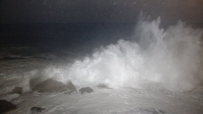
A strong wind warning is in place along the entire NSW coast. Swells of up to six metres are expected.
The State Emergency Service (SES) has received 560 calls for help in the 24 hours to Friday morning, with Sydney and the Central Coast drenched by more than 80mm of rain.
SES spokeswoman Stephanie Heard said workers had a hectic night, with four flood rescues on the Central Coast on Thursday evening.
Two people were rescued from two cars trapped at Ourimbah, while two children and an adult were rescued from a car at Holgate, near Gosford. A sixth person was rescued from a causeway at Bundook on the mid-north coast.
"We are urging motorists not to enter floodwaters in any circumstances as you don't know how deep they are,'' Ms Heard told AAP.
Most of the calls for help have come from the Central Coast and Sydney's northern beaches, where residents have experienced leaking roofs.
Sydney Ferries passengers faced disruption on Friday morning, with an overflowing weir stopping services on the Parramatta River.
Rough seas also caused the privately run Cronulla to Bundeena service to be cancelled.
Trains were also affected, with localised flooding, mechanical failures and diversions slowing down movement on the tracks.
"Drivers are reducing speed to drive to the conditions and passengers aren't boarding and alighting as quickly,'' a CityRail spokeswoman told AAP.
More than 85mm has fallen in the city over past 24 hours causing flash flooding, traffic chaos and bringing down trees.
If the city receives one more millmitre of rain it will be the wettest month in more than 50 years, Bureau of Meteorology duty forecaster Jake Phillips said.
"It will be the wettest July since 1950 when 336mm fell," Mr Phillips
Terrey Hills copped the worst of the wet weather with 128mm of rain, while Frenchs Forest, 124mm, and Cronulla, 108mm, were also drenched.
The Manly Ferry service was cancelled this morning as the low pressure system responsible for the wet weather also sending 4m swells crashing into our coastline.
Fire fighters were called to St Ives this morning after a tree fell onto a house.
Mr Phillips said conditions would improve as the low pressure system would slowly move towards New Zealand over the weekend.
"It will be a gradual improvement," he said.
"You will start to see some sunny breaks on Saturday but more likely on Sunday.
"It shouldn't be too bad this weekend as long as you don't mind the odd shower."
Motorists are also being urged to drive with extreme caution this morning, expect delays and allow additional travel time as rain continues to have an impact on the Sydney road network.
As at 5am this morning:
- Oxford Falls - Wakehurst Parkway (between Oxford Falls and Narrabeen) is closed in both directions due to flooding.
- Audley - Audley Weir in the Royal National Park is closed due to flooding.
- Palm Beach - Barrenjoey Road near Surf Road. Alternating traffic conditions in place using a single lane due to a landslide overnight.
- Glenfield - Cambridge Avenue is closed at the causway crossing over Georges River.
- Hornsby Heights - Galston Road at Galston Gorge. A rock fall has affected the westbound lane approximately 50m past the first hairpin bend. Traffic is able to pass with caution. However the road maybe closed a little later to remove the rock fall and reopen all lanes.

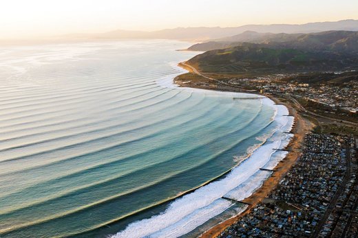
in the Southern Hemisphere. It's winter over there currently.