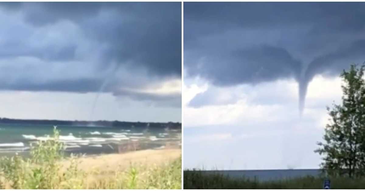
According to the International Centre for Waterspout Research (ICWR), there were 13 sightings of water funnels throughout the Great Lakes region on Monday.
"We have confirmed a total of 13 waterspouts that formed over parts of the Great Lakes on Monday, August 17. Expect more on Tuesday," says a post from ICWR.
More of these weather phenomenons are expected to be on the way this Tuesday as well as on Wednesday, so keep a lookout if you're in the area.
According to their most recent update, the high waterspout activity should ease up into the afternoon on Tuesday, before reemerging again in the morning.
It's predicted that areas on the eastern shores of Lake Ontario and those on the southern shores of Georgian Bay will get the most activity.
"Waterspouts will redevelop early Wednesday morning, especially over Eastern Lake Ontario and Southern Georgian Bay," it says.
There have already been tons of waterspouts recorded throughout the month of August after an outbreak was reported. It looks like this trend is continuing.
Unreal footage from eastern Lake Ontario shows just how huge and ominous these spouts can get.
A giant waterspout was even spotted on Lake Huron at Sauble Beach in Ontario.
"Cooler temperatures aloft, combined with warm lake temperatures, have created an unstable atmosphere conducive for waterspout formation," said TWN meteorologist Kelly Sonnenburg.
Taken just off shore from my beach house on Lake Huron about an hour ago. #onstorm #Tornado pic.twitter.com/UbJVPmCfHR
— ✨🌟☣️🌟✨ (@rUv) August 16, 2020


Reader Comments
to our Newsletter