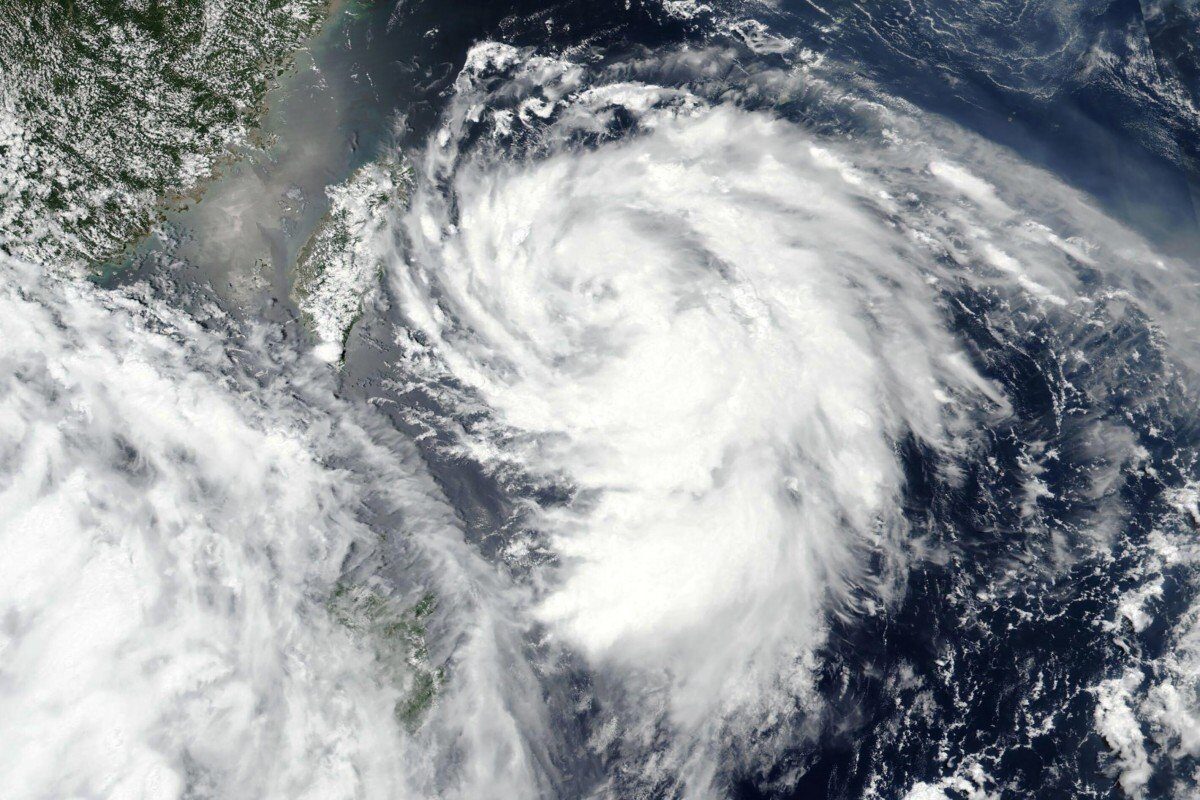
China's National Meteorological Centre said Typhoon Hagupit made landfall in Zhejiang province around 3.30am, with winds blowing up to 136.8km/h (85mph) at its centre.
It was moving north at around 25km/h in the direction of Shanghai, which was overcast on Tuesday morning with rain expected in the afternoon. Hagupit was expected to gradually turn in a north-easterly direction, heading out to sea again on Wednesday morning and moving towards the Korean peninsula.
China had ordered the evacuation of vulnerable coastal areas in Zhejiang and Fujian provinces to the south, recalled fishing boats and suspended ferry service and some trains.
There were no immediate reports of major destruction or injuries resulting from the storm. Chinese state broadcaster CCTV showed trees toppled in the Zhejiang city of Yuhuan, but there were no indications of serious damage to property.
In the major Zhejiang manufacturing centre of Wenzhou, south of Shanghai, authorities reported evacuating 200,000 people to shelters and recalling more than 6,000 fishing boats to port. Waves along the coast were reported at heights of 4.2 metres.
This year's typhoon season has been relatively mild in China, although flooding since June along its major river systems has caused scores of deaths, forced around 2 million people to be evacuated and caused more than 49 billion yuan (US$7 billion) in damage.


Reader Comments
to our Newsletter