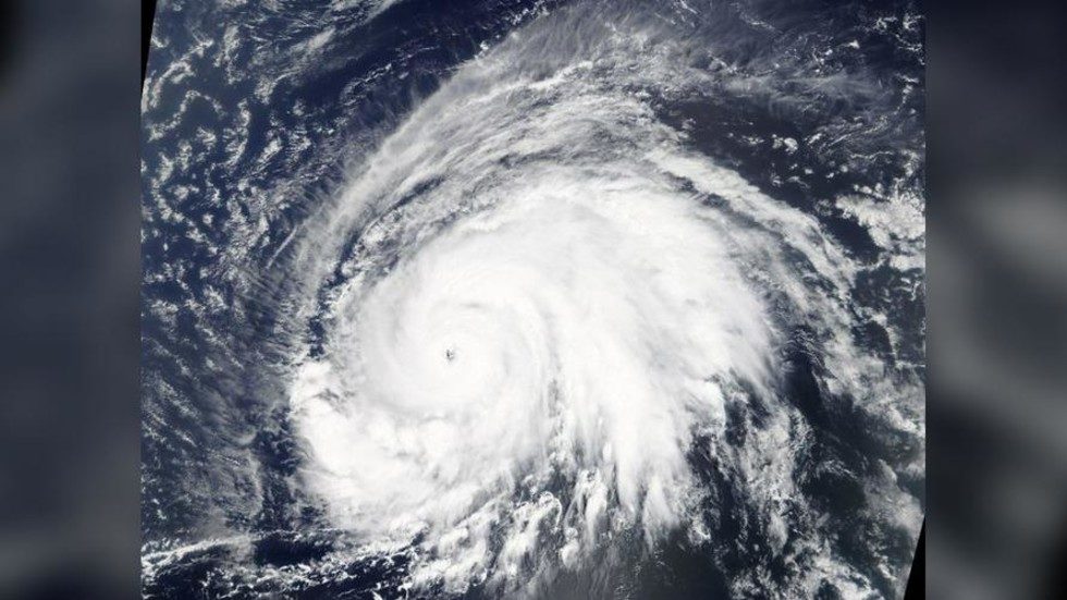
Storm Lorenzo has grown to a category-5 hurricane - the first ever to be so designated this far east and north over the Atlantic. Meteorologists are warning that the huge weather system is likely to veer into Ireland and Britain.
Based on current projections, the storm could spin north-east towards Ireland and the UK, bringing heavy wind and rains by Thursday evening, local time.
The US National Hurricane Center said on Sunday that the storm had reached category-5 strength, with sustained winds of 155 miles per hour (50 km/h). Lorenzo is expected to first come close to the Azores, an archipelago of small islands in the mid-Atlantic, before turning its sights north.
The storm should weaken as it travels, but forecasters are advising people who live in its probable path to carefully monitor its progress.
"Regardless of Lorenzo's exact track near the Azores, strong winds are becoming increasingly likely on those islands Tuesday night and Wednesday and residents there should monitor the progress of the hurricane," the NHC warned.
Ireland's national meteorological service said Saturday that there's still a "margin of uncertainty" about the storm's path and its likely impact on the country.


Reader Comments