OF THE
TIMES
Today as never before we need to comprehend the course, logic, and path of the process of history. Every day we need to make decisions that will affect future generations. It has become obvious that no single nation, confession, social class or even civilization can solve these problems on its own. We increasingly have to listen to one another: Europe and Asia, Christians and Muslims, White and Black peoples, citizens of modern democratic states and places where traditional society survives. The key is to understand one another correctly, avoid hasty conclusions, and acquire the true spirit of tolerance and respect toward those with different value systems, habits, and norms.
I wouldn't bother with any of the 2 Naomi's. klien/wolf ones a Jewish identitarian, the other believes in man made climate change.
Don't trust people who dress like that all the time.
Pure unadulterated hatred makes it easier, not only to kill, but allow it to happen. Humancide is completely unacceptable.
Who gives a flip about an isolated occurrence of bird flu my ass....really who cares.. Oh....must be the fear-pushers - pushing another virus of...
Psaki was one of the best liars yet, she could verbally spar pretty well. This one, not so much. But then again, all legacy media is 5th...
To submit an article for publication, see our Submission Guidelines
Reader comments do not necessarily reflect the views of the volunteers, editors, and directors of SOTT.net or the Quantum Future Group.
Some icons on this site were created by: Afterglow, Aha-Soft, AntialiasFactory, artdesigner.lv, Artura, DailyOverview, Everaldo, GraphicsFuel, IconFactory, Iconka, IconShock, Icons-Land, i-love-icons, KDE-look.org, Klukeart, mugenb16, Map Icons Collection, PetshopBoxStudio, VisualPharm, wbeiruti, WebIconset
Powered by PikaJS 🐁 and In·Site
Original content © 2002-2024 by Sott.net/Signs of the Times. See: FAIR USE NOTICE

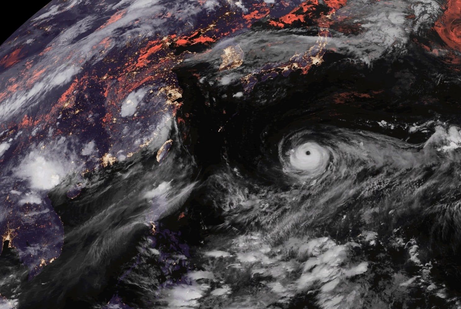
Comment: Eight tropical cyclones spinning simultaneously in the north Pacific Ocean for first time since 1974