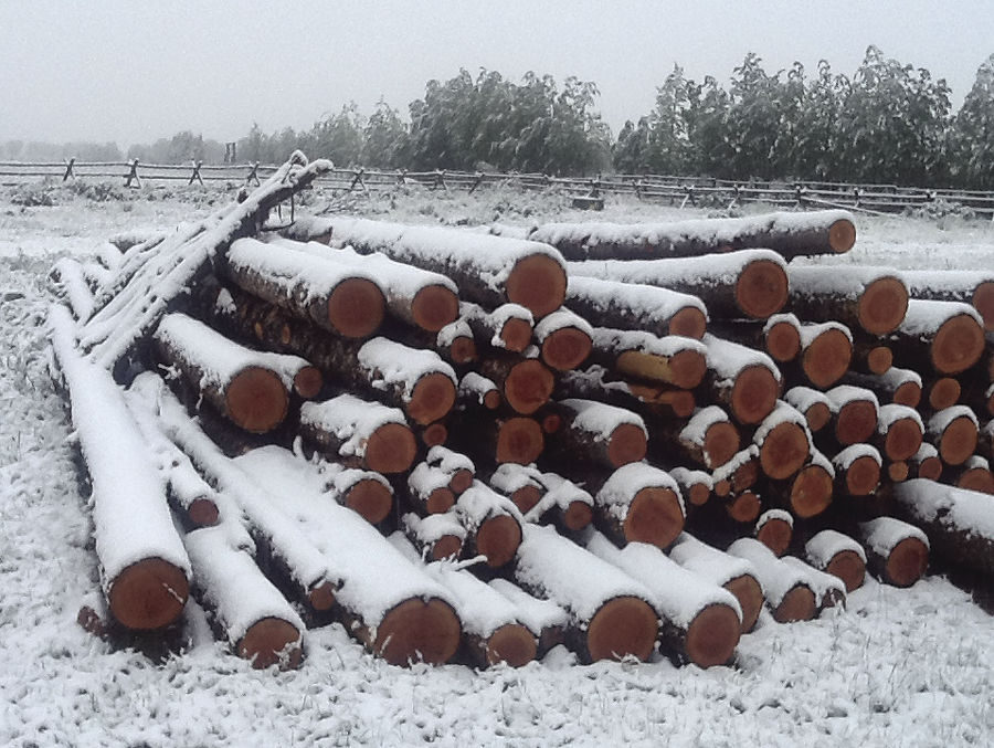
© National Weather ServiceSnow near Arco.
The storm that brought snow in June to East Idaho is expected to exit the region Wednesday morning but the hazardous conditions it has created on the region's waterways could continue for the remainder of the week.
The National Weather Service urges people to keep small children and pets away from East Idaho's rivers, streams and reservoirs because of the rising water levels and powerful currents caused by the storm that began hitting the region on Sunday night.
The weather service wants everyone to use extreme caution around the region's waterways until calmer waters prevail by the end of the week.
The weather service said the storm dumped several inches of snow Monday and Tuesday on many of the region's higher elevation areas — which is "highly unusual" for this time of year.
The mountains near the Pomerelle ski area received the most snow from the storm — 9 inches. The mountains near Island Park got nearly 7 inches of snow, while the higher elevations in Teton County received nearly 6 inches of snow.
The weather service said the mountains of Blaine and Custer counties as well as the Grand Targhee Ski Resort received about 5 inches of snow, while Franklin County's higher elevations saw 2.5 inches of snow.
And where it wasn't snowing it was raining.
From noon Monday until noon Tuesday, Island Park got nearly an inch of rain, while Rexburg, Salmon and Ashton received over an inch. Many other locations including the Pocatello area received over a half-inch of rain during that time frame.
The rain and snow are expected to continue falling in parts of East Idaho until the storm departs sometime Wednesday morning.
Conditions are then expected to clear, though the storm's impact on East Idaho's waterways will linger.
As of Tuesday evening, multiple flood warnings and watches were in effect in East Idaho and the weather service said minor flooding was already occurring in the region.The storm brought severe thunderstorms and large hail to East Idaho on Sunday night and Monday. There were even some tornado warnings, though no twisters touched down.
Colder temperatures were also ushered in by the storm and these will continue Tuesday night through early Wednesday morning, when the mercury is expected to drop into the 30s in much of East Idaho.
Winds of up to 50 mph — powerful enough to make driving a vehicle difficult — are also in the forecast in East Idaho until the storm exits.
Elsewhere in the state, high winds are in the forecast in central Idaho and flood warnings are in effect in the central Idaho mountains as well as the Boise area.
Western Wyoming is under a winter weather advisory calling for up to 8 inches of mountain snow and storm-related weather warnings remain in effect in Nevada, Utah and Montana.

Reader Comments
to our Newsletter