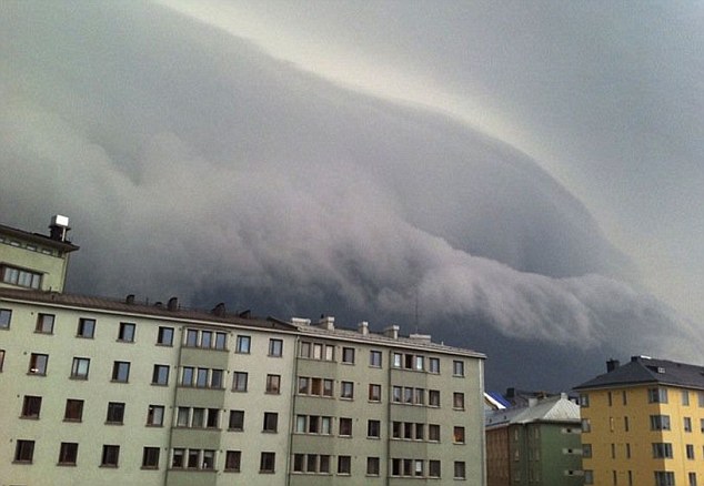
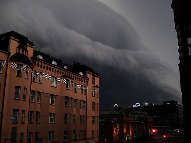
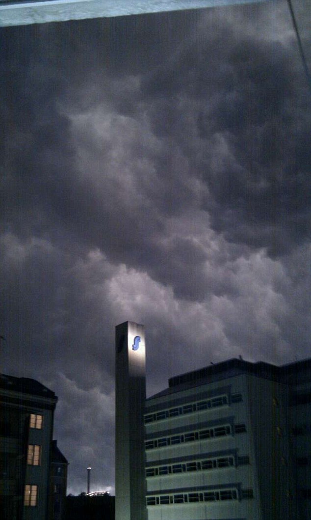
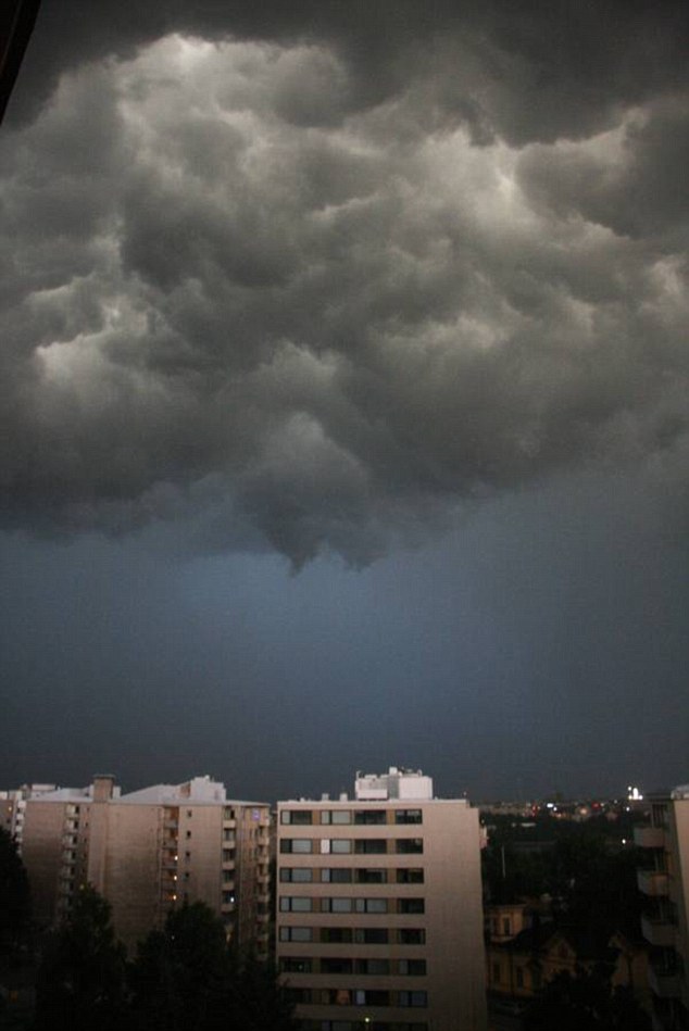
The bad weather front is clearly visible as it approaches the skies above the capital Finland, moments before strong winds, heavy rain and lightning battered the city.
Forty people were injured in the storm, two of them seriously, as they enjoyed a heavy metal festival in the town of Pori.
Strong winds and lightning strikes badly damaged one of the stages at the Sonisphere Festival, and the equipment of several bands including Motley Crue was also ruined.
Organisers said in a statement: 'A severe thunderstorm hit (the) Sonisphere Festival in Pori, Finland. Strong freak wind gusts damaged the stages and knocked down tents and fences.
'Approximately 40 people were injured, two of them seriously.'
The two-day Sonisphere Festival attracted 30,000 people and was due to feature performances from groups like Iron Maiden, Alice Cooper and Iggy Pop.
Because of the damage to the stages, Motley Crue were forced to cancel their gig and Iggy Pop had to play an acoustic set because of problems with electrical equipment.
According to Finnish media reports, a plane chartered by Iron Maiden was also severely damaged at the local airport.
The band did managed to perform their headline slot two hours later than billed.
The powerful storm, known as a super-cell, can produce high winds, torrential rain and large hailstones and can often lead to the formation of tornadoes.
They often feature a bank of cloud known as a wall cloud, which is visible in some of the pictures.
Super-cells are highly organised thunderstorms, have the potential to be the most severe and are the least common.
People underneath them will experience light rain at the leading edge, with torrential rain and hail falling north and east of the main updraft of air - typically towards the rear of the storm.
A spokesman for the Met Office said: 'Storms of this intensity only occur with large towering cumulonimbus clouds, and looking at the pictures this was a particularly large storm, known as a super cell.'


Reader Comments
to our Newsletter