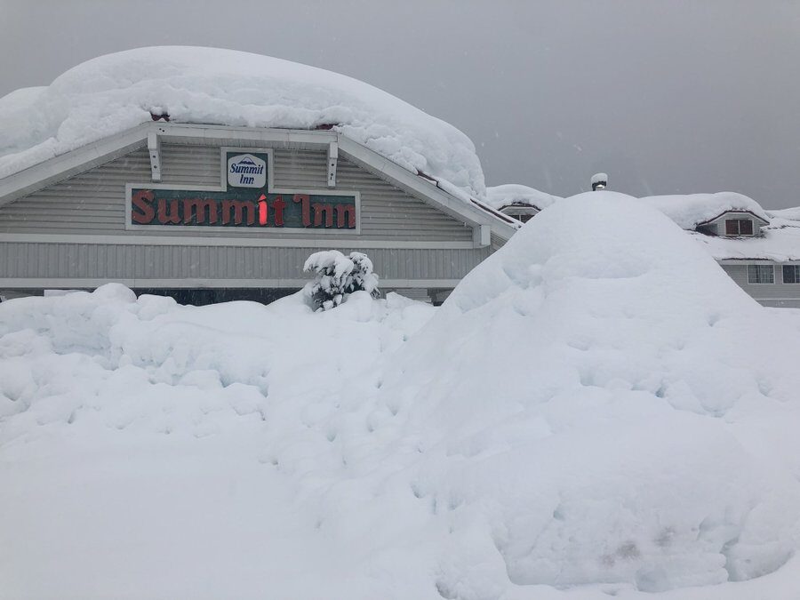
Weather spotters with the Washington State Department of Transportation measured 56.5 inches of snow had come down in the pass through Monday morning. For the entire season, the pass was at 190 inches as of Monday morning, and snowpack was running about 115% of normal in the central Cascades.
Stevens Pass wasn't too far behind at 53.5" since Tuesday evening and 219 inches for the year through Sunday morning.
The totals will continue to climb as more snow was falling Monday. A Winter Storm Warning remained in effect until midnight Tuesday morning for an additional 5-15 inches of new snow. Another storm Tuesday will add even more.
Aside from the roads, dangerous avalanche conditions persist in the backcountry and is expected to remain dangerous through the middle of the week
In the lowlands, Tuesday will mark the 5th consecutive day with at least a third of an inch of rain in Seattle with Tuesday's storm likely extending the streak to six. It would be the longest streak since... last winter when we rattled off a week of such rainy weather to end January.
These rain storms have pushed the Skokomish and Chehalis Rivers beyond flood stage but so far they are the only rivers expected to flood.
Minor tidal flooding with the stormy weather combining with King Tides is possible in the inland waters of Puget Sound and the Salish Sea through the middle of the week as well. Over on the coast, high seas with waves at 20 feet could bring dangerous surf conditions Tuesday and Wednesday.
Long range forecasts suggest continued snowfall in the mountains at times into the weekend though the pace of the storms looks to slow a bit.


Reader Comments
to our Newsletter