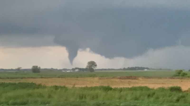
Storms producing tornadoes developed in western Minnesota and moved eastward across the state starting around 3:38 p.m., according to preliminary reports. The highest concentration of reports occurred in a line from northwest of Alexandria to south of Hutchinson, with other reports coming from southeast and northwest Minnesota.
The NWS also confirmed an EF-0 tornado touched down near Crystal around 7:55 p.m. Maximum winds were estimated to be around 75 mph, causing "significant" tree damage in Crystal, New Hope and Robbinsdale.
Here's a preliminary summary of the storms from Friday, August 14 2020. Thank you to everyone who relayed weather information, and helped make us a weather-ready nation #mnwx #wiwx pic.twitter.com/uspxDWZ3GI
— NWS Twin Cities (@NWSTwinCities) August 15, 2020
According to the earliest reports, three tornadoes formed before 4 p.m. between near Elbow Lake in west-central Minnesota. Sheriff's deputies reported tornado sightings just after 4 p.m. in Nobles County in the southeast and around 5 p.m. in Todd County in central Minnesota.
Another cluster occurred in south-central Minnesota in Kandiyohi, McLeod and Meeker counties.
Multiple reports of a tornado and damage to trees and power lines came in around Green Lake, just north of Willmar. A tornado reportedly touched down west of Glencoe at 5:45 p.m., and a tornado was still lingering near Paynesville at 6:03 p.m.
A delayed report from Aitkin County in northwestern Minnesota indicates a tornado damaged several trees and buildings near the town of Lawler.


Reader Comments
to our Newsletter