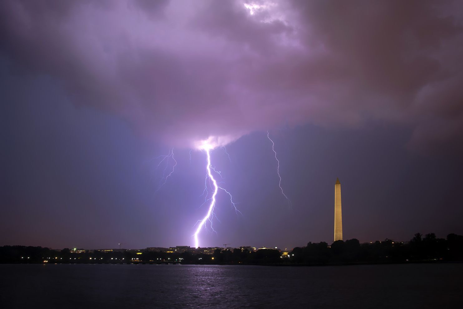
© Kevin AmbroseOne of many lightning flashes in Washington last night.
Powerful thunderstorms consolidated over the D.C. area Thursday evening, releasing a dramatic and memorable outburst of thunder and lightning while also dispensing tremendous rainfall. Energized by stifling heat and humidity, it was the fourth day in a row of vigorous summer storms in some locations.
On social media, eyewitnesses described the jarring claps of thunder and the strobe-light-like lightning display as among the most extreme they had seen:"[T]hat was some of the loudest, sustained thunder and lightning I've ever been through,"
tweeted Jim Groves in Hyattsville.
"I've never seen an electrical storm like this,"
tweeted The Weather Channel's Justin Michaels.
"I'm not prone to hyperbole but this takes the cake for the most intense lightning event since the derecho,"
tweeted WTOP's Dave Dildine.
The storms prematurely ended the Nationals home opener against the Yankees, as sheets of rain enveloped the ballpark and flashes of lightning lit up the sky.
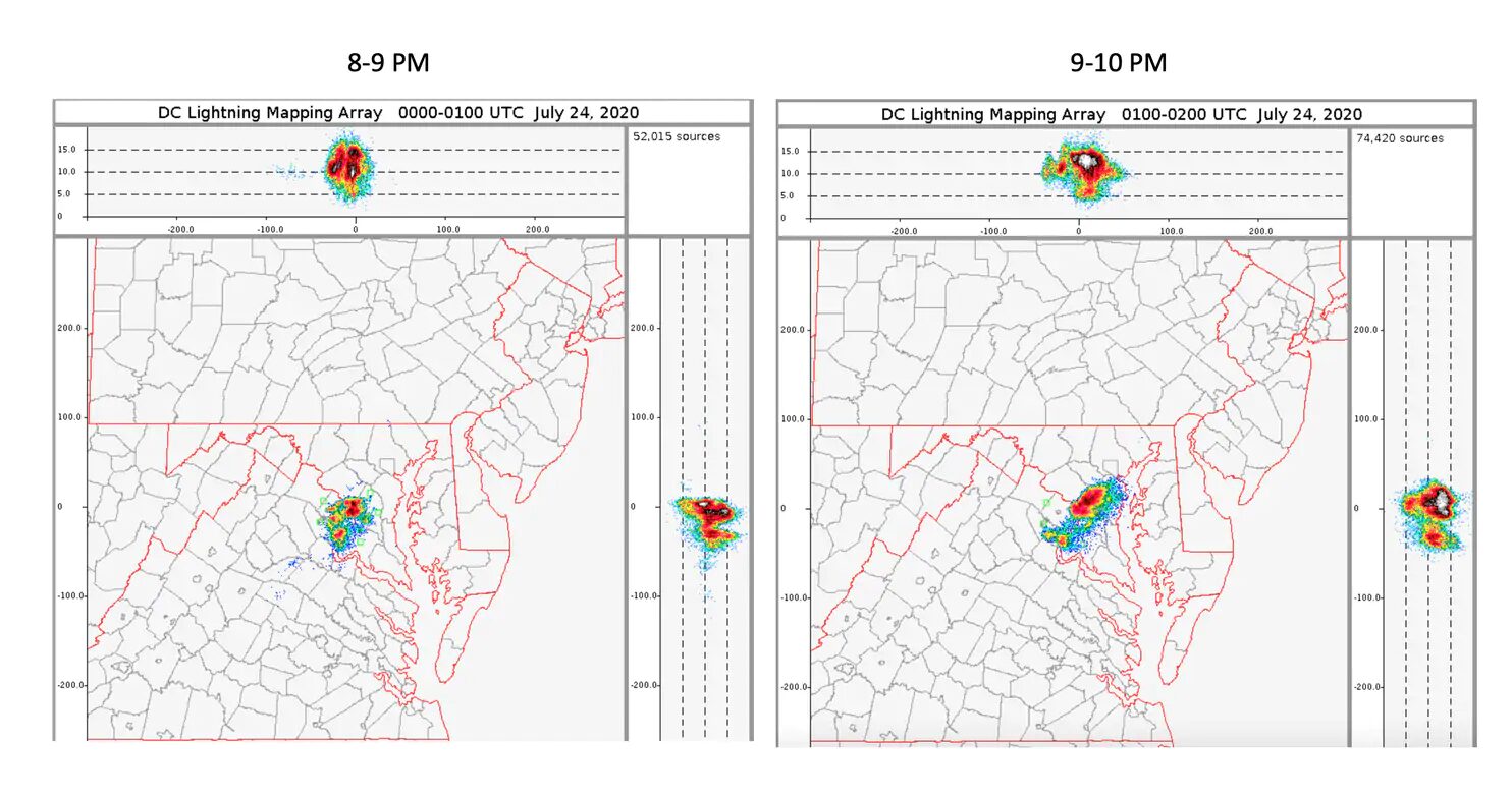
The D.C. Lightning Mapping array detected 126,500 instances of lightning discharge between 8 and 10 p.m. From 8:21 to 8:55 p.m., there were nearly 3,000 lightning events within eight miles of Nationals Park
said Chris Vagasky, a lightning expert for the Vaisala Group, which operates the National Lightning Detection Network.
A hot and abnormally humid air mass fueled the storms, which formed as a subtle disturbance in the atmosphere's flow transited the region.
The storm that inundated D.C. was part of a localized transient cluster of cells. In the radar loop shown below, a small group of cells appear to head toward the northeast into the District. These are then overtaken by — and merge with — a separate, rapidly developing cluster arriving from the west and southwest. Thunderstorm cell mergers have been shown to produce extreme weather.
The merging of separate masses of cloud water and ice may have super-electrified the cloud system. In the graphic below, note the extremely concentrated nature of the lightning discharges, from 8 to 10 p.m.

© DCLMALightning detected by the D.C. Lightning Mapping Array on Thursday night between 8 and 10.
Most of the 125,000-plus detectable electrical "sources" in that two-hour period were contained high within the cloud system. This suggests tremendous amounts of lofted water and ice in cloud updrafts. The combination of water and ice, within a turbulent updraft, is the leading hypothesis for initiating electrical charge.
The vigor of those updrafts can be explained by a small pocket of very unstable air feeding into the storm cluster. An analysis of the convective available potential energy (CAPE — a measure of updraft buoyant energy) in this two-hour time period revealed values in the 3,000 to 3,500 Joules per kilogram range feeding into the storm from the south and east of the District.
It takes about 1,000 J/kg to initiate a garden-variety thunderstorm; so the values feeding the D.C. cells were three times this threshold!The storms unloaded torrential rainfall, falling at a rate of over three inches an hour in some areas. Reagan National Airport picked up 1.79 inches in just 30 minutes between 9 and 10 p.m. (and 1.89 inches overall). The National Weather Service received more than a half-dozen reports of flooding focused in Arlington, Alexandria, the District, and Oxon Hill as well as Prince William County.
The torrents inundated roadways, stranding cars in high water in several locations.
While instances of damaging winds were sporadic, the Weather Service received several reports of downed trees in the eastern part of the District and adjacent areas of Prince George's County. Andrews Air Force Base clocked a wind gust of 58 mph.
For storm photographers, the barrage of lightning offered an ideal opportunity to capture dramatic imagery.
"I was in the Jefferson Memorial watching the rain shafts form on the western horizon," Capital Weather Gang photographer Kevin Ambrose said. "Initially, I didn't see much lightning. But when the storms approached and moved over Arlington, suddenly lightning began to flash frequently."
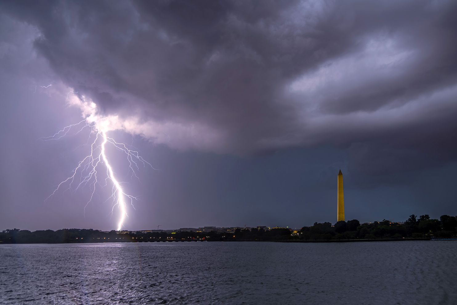
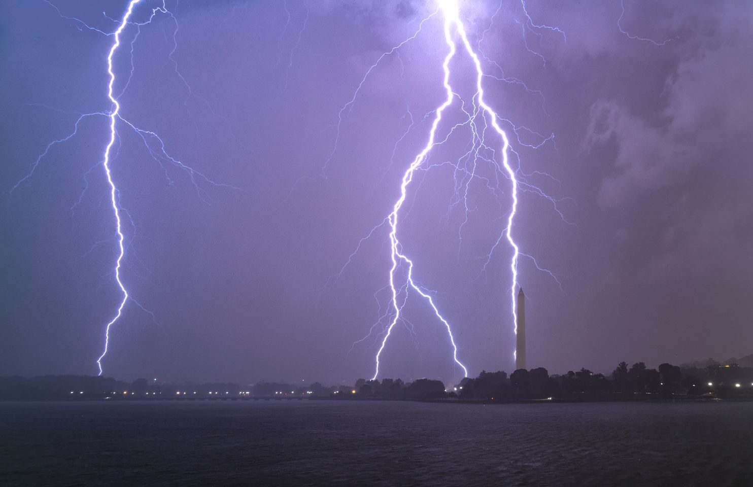
"When the storms moved into D.C., lightning flashed every few seconds, but much of it was concealed in clouds," he said. "Some of the lightning flashes, however, were not concealed in clouds and struck very close to the Tidal Basin. I photographed a few close strikes."
Ambrose captured the series of images below:

© Kevin AmbroseLightning over D.C. on Thursday night.

© Kevin Ambrose
We also received remarkable captures of the lightning from our social media followers, a sampling of which you can see below.
Photos
Videos
Comment: Meanwhile from earlier this week: Symbolism: Dramatic video shows moment lightning strikes behind Statue of Liberty