At least FOUR San Diego County National Weather Service (NWS) stations reported record-breaking temps Wednesday morning, as brutal Arctic air continues to ravage the Western half of the CONUS.
The frigid air mass currently tearing up record books across the Western U.S. took names in San Diego overnight Tuesday. Record lows were busted across the majority of the county as the mercury dipped into the 20s (and below).
Yenny on Twitter put it best:
I've taken the time to list a few of the new "cold af" records below (data courtesy of the NWS):
- Ramona's low temperature of 19F (-7.2C) busted the previous record of 23F set in 2002.
- El Cajon's and Vista's lows of 30F (-1.1C) beat records of 31F and 32F, respectively, set in 1985.
- While the San Diego International Airport tied its record of 38F (3.3C) set way back in 1894!
The NWS has called this a "highly unusual weather pattern for southern California in February" — usually, the average temperature for these parts is around 66F (18.9C) with a low of 51F (10.6C).
And it's about to get even unusual-er, with the models gaining confidence regarding the potentially monstrous Polar Vortex forecast to hit practically ALL of North America beginning Tuesday next week:
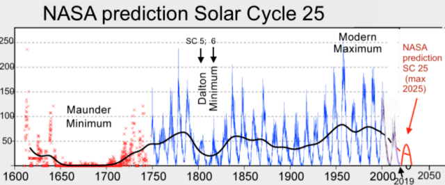
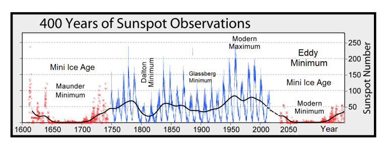
The lower latitudes are refreezing in line with historically low solar activity, cloud-nucleating Cosmic Rays, and a meridional jet stream flow.
Don't fall of bogus, warm-mongering political agendas — our future is one of ever-descending COLD.


Reader Comments