OF THE
TIMES
Today as never before we need to comprehend the course, logic, and path of the process of history. Every day we need to make decisions that will affect future generations. It has become obvious that no single nation, confession, social class or even civilization can solve these problems on its own. We increasingly have to listen to one another: Europe and Asia, Christians and Muslims, White and Black peoples, citizens of modern democratic states and places where traditional society survives. The key is to understand one another correctly, avoid hasty conclusions, and acquire the true spirit of tolerance and respect toward those with different value systems, habits, and norms.
U.S. intelligence agencies have determined that Russian President Vladimir Putin probably didn't order opposition politician Alexei Navalny killed...
The court, in a 4-3 ruling, ruled that the judge in the New York County trial prejudiced Weinstein with improper rulings, including allowing women...
"Since the start of the offensive, the Tel Aviv regime has killed over 34 thousands Palestinians..." it's been at this number at least since...
it aligns itself with a faction that seeks to exterminate the Jews. And You're watching drag queens importune young children to shove all the Jews...
allegations of prior bad acts may not be admitted against them for the sole purpose of establishing their propensity for criminality :O bad acts...
To submit an article for publication, see our Submission Guidelines
Reader comments do not necessarily reflect the views of the volunteers, editors, and directors of SOTT.net or the Quantum Future Group.
Some icons on this site were created by: Afterglow, Aha-Soft, AntialiasFactory, artdesigner.lv, Artura, DailyOverview, Everaldo, GraphicsFuel, IconFactory, Iconka, IconShock, Icons-Land, i-love-icons, KDE-look.org, Klukeart, mugenb16, Map Icons Collection, PetshopBoxStudio, VisualPharm, wbeiruti, WebIconset
Powered by PikaJS 🐁 and In·Site
Original content © 2002-2024 by Sott.net/Signs of the Times. See: FAIR USE NOTICE

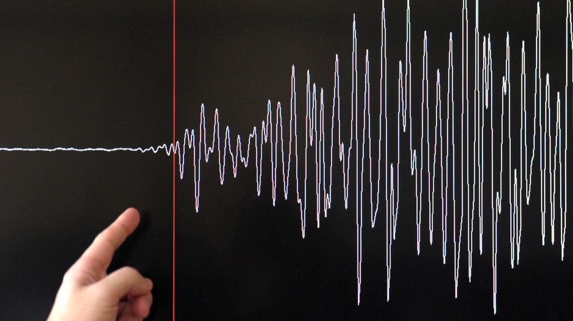
Comment: Also see: Two shallow earthquakes above magnitude 5.0 strike off California coast
Later on Thursday, a 2.9 quake hit San Jose, bringing the Bay Area total to 7 in a week.