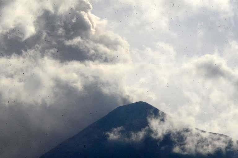
Guatemala's volcanic monitor, Insivumeh, said in a statement that thick columns of ash reached between 34,000 feet and 37,000 feet above sea level, amid loud explosions and extended new lava flows.
According to Insivumeh's statement, ash was swept more than 12 miles towards the south, southwest and west and fell in the areas of San Pedro Yepocapa, Sangre de Cristo, Panimache I and II.
Local media reported that the National Coordinator for Disaster Reduction (Conred) has not yet reported damages after the explosion, which is the fourth so far this year.
The volcano is located about 30 miles southwest of the Guatemalan capital.
Source: Reuters


Reader Comments
to our Newsletter