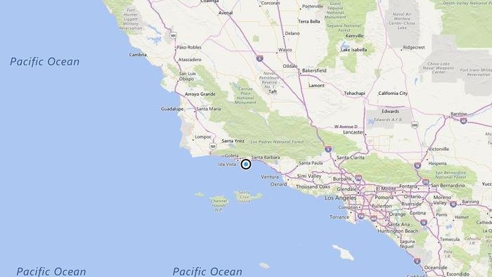
According to the USGS, the epicenter was five miles from Goleta, six miles from Isla Vista and 13 miles from Carpinteria.
In the last 10 days, there have been no earthquakes of magnitude 3.0 or greater centered nearby.
This information comes from the USGS Earthquake Notification Service and this post was created by an algorithm written by the author.


Reader Comments
to our Newsletter