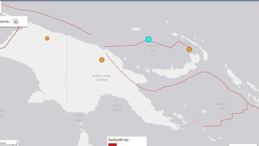
The offshore quake hit at 5.38am (local time) and occurred 128km southeast of Lorengau, Papua New Guinea, according to the US Geological Survey (USGS).
The epicentre was at a depth of 6.6km.
No damage or injuries were immediately reported. The Hawaii-based Pacific Tsunami Warning Centre assured that there was no threat of a widespread tsunami.
Quakes are common for the island nation that lies on the 4,000km-long Pacific Australia plate, which forms part of the "Ring of Fire", a hotspot for seismic activity due to friction between tectonic plates.


Reader Comments
to our Newsletter