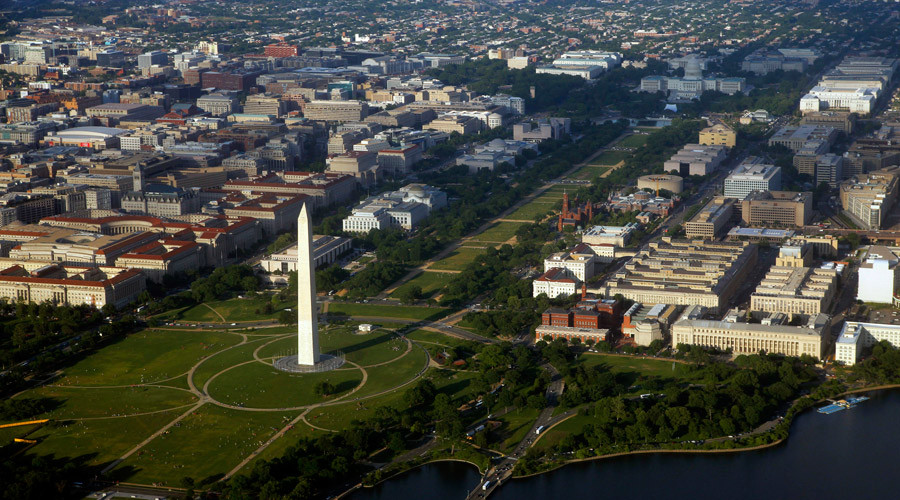
The research confirms twin hypotheses, both of which are worrying. The first is that tide gauges show sea level rises in the Chesapeake region are twice the global average, and that levels are rising faster than elsewhere on the East Coast. The second is that the pre-historic ice sheets in the north which pushed up the land around DC are now melting, and the land in the Chesapeake region is settling back down as a result.
"It's a bit like sitting on one side of a water bed filled with very thick honey, then the other side goes up," explained Ben DeJong, a doctoral student in geology at the University of Vermont (UVM) and the lead author of the study, in a statement. "But when you stand, the bulge comes down again."
Researchers at UVM said the sinking land under the nation's capital would exacerbate the effects of flooding caused by climate change and rising ocean waters, and threaten the region's roads, monuments, wildlife refuges, and military installations.
Specifically, the study said that during the last ice age, a mile-high North American ice sheet stretching from the north to Long Island, New York piled so much weight on the Earth that its underlying mantle rock flowed slowly outward, away from the ice. The land surface to the south, under the Chesapeake Bay region, bulged up as a result. About 20,000 years ago, however, the ice sheet began melting away, allowing the "forebulge" to sink again. Scientists said the sinking will continue unabated for tens of thousands of years.
The results are published online in the journal GSA Today.
To gather data, scientists did extensive drilling in the coastal plain of Maryland, sinking as many as 70 bore holes up to 100 feet deep, and then examined sediment to calculate the age of the sand, rocks, and organic matter in each layer.
The data was combined with high-resolution map data from the US Geological Survey and other institutions, all of which was used to create 3D portraits of both current and previous post-glacial geological periods stretching back several million years. The combination of data gave scientists a long view which revealed that the region is in an early period of land subsidence - or subsurface movement that causes land to sink - that will last for millennia.
"It is ironic that the nation's capital - the place least responsive to the dangers of climate change - is sitting in one of the worst spots it could be in terms of land subsidence," said Paul Bierman, UVM geologist and the senior author on the new paper. "Will the Congress just sit there with their feet getting ever wetter?"
Comment: When you look at the suffering and carnage the U.S. has caused all over the world, it's not so ironic, it's more symbolic and looks a bit like karma. It may happen much sooner with the increasing Earth Changes. One can hope!


is an event that began 20000 years ago! Interesting article given I happen to occasionally drill 100-foot boreholes in the Maryland coastal-plain as a part of my geotechnical engineering practice, but the SOTT comment is silly. It's akin to saying God melted the glaciers 20000 years ago because he knew gay marriage would be allowed in 2015.