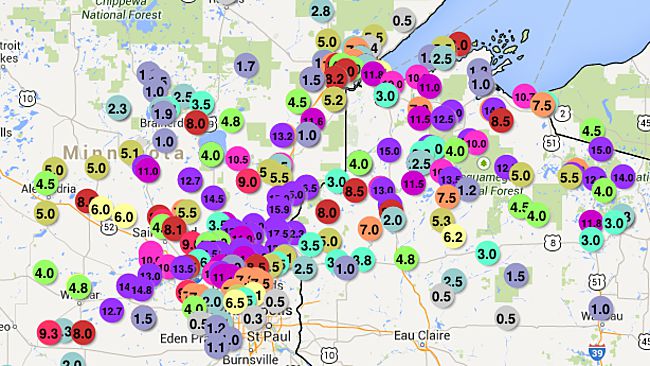
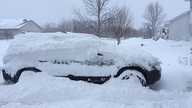
The storm emerged from the northern Rockies Tuesday night and quickly developed into an energetic spring snowstorm on Wednesday.
"An April snowstorm in Minnesota and northern Wisconsin is not unusual, but the amount of snow that fell is quite rare," AccuWeather Senior Meteorologist Brett Anderson said.
A trained NWS spotter reported the most snow from the storm in Isanti, Minn., where 19 inches piled up.
Insanti, Minn., was in a 50-mile-wide swath of heavy snow that extended from central Minnesota into northwestern Wisconsin. A foot or more of snow was widely reported in this heavy swath.

"Snowfall totals to nearly 20 inches is impressive, but it covered a small portion of the state," AccuWeather Senior Meteorologist Dale Mohler.
The storm spawned multiple accidents, delays in air travel and postponed Wednesday's Minnesota Twins baseball game.
For those weary of wintry weather in the region, the chill will linger into Friday, but the weekend will turn much warmer.
Most areas impacted by the snow will have struggle to reach the upper 40s on Friday, a solid 10 degrees Fahrenheit below normal. By the weekend, highs will rebound into the 60s and even 70s.


Reader Comments
to our Newsletter