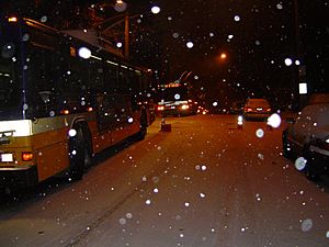
This afternoon and evening is when the snow will create the most adverse conditions for motorists in Minneapolis and Duluth. airline passengers should prepare for substantial delays. As the snow continues into tonight, as much as 6 inches will accumulate from northern North Dakota to places in the vicinity of western Lake Superior. International Falls, Minnesota, lies within this zone.
Gusty winds will worsen the situation for travelers today by whipping the snow around, leading to reduced visibility. The strongest winds will blast the northern High Plains, where high temperatures will be held to the teens and single digits. These winds will create dangerous blizzard conditions at times. While a substantial amount of new snow will not fall today, the winds will have no trouble blowing and drifting the snow left by recent storm systems.
As of Tuesday afternoon, 5 inches of snow remained on the ground in Rapid City, South Dakota
South of the snow, ice will glaze the area from Omaha, Nebraska, and places just north of St. Louis to Madison, Wisconsin, to Wausau, Wisconsin. A bit of freezing rain could even affect the far western suburbs of Chicago this morning.
A large buildup of ice that would lead to power outages and downed tree branches is not expected. However, it takes only a thin coating of ice to make untreated roads and sidewalks extremely slippery. Light freezing rain was the culprit behind the hundreds of vehicle crashes that ensued in the Minneapolis-St. Paul area this past weekend.
Residents and motorists across Iowa, Wisconsin and northern Illinois should not let their guard down when the ice changes over to plain rain later today. An invasion of fresh cold air will cause the ice to make a return tonight. That changeover from rain to ice should occur as far south as St. Louis and northwestern Arkansas on Thanksgiving Day. These same areas will first become the target of damaging thunderstorms this afternoon and evening.


Reader Comments
to our Newsletter