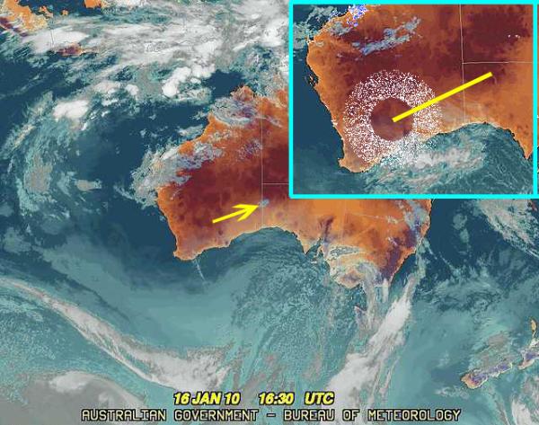
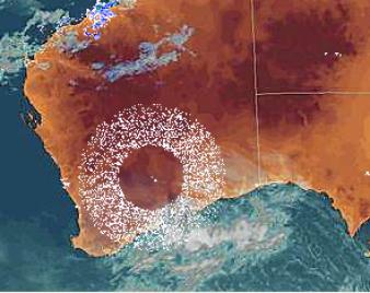
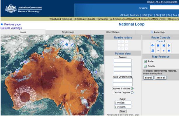
The image below is what my contact sent which shows a wide band ring covering many hundreds of miles across the south west of Australia with a small dot (presumably cloud) shown just right of center.
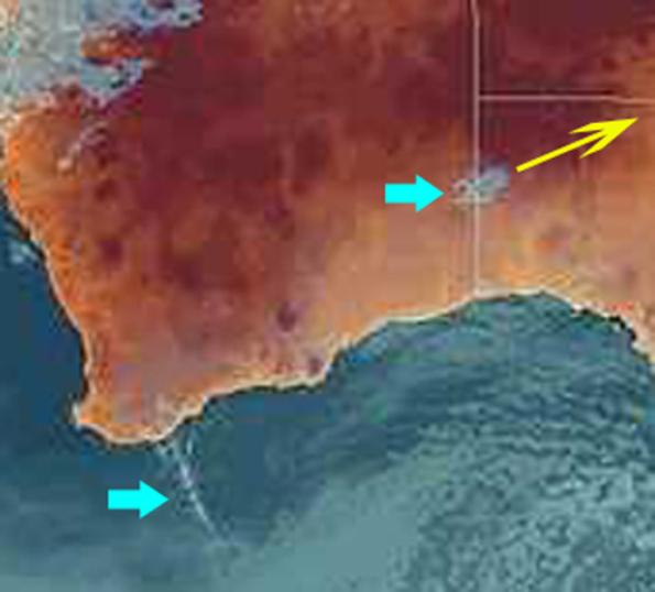
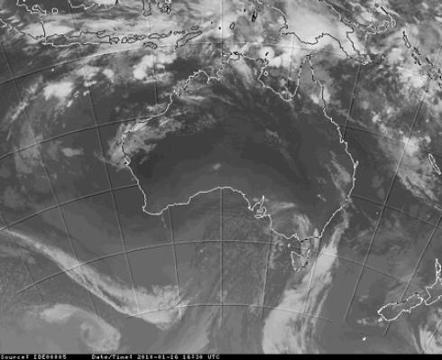
I saved the loop of the area when I checked the site several hours later but unfortunately it was encrypted not to permit this. The loop is not now on the site but the satellite image taken at 16:30 UTC is also very interesting. It shows a very large rotating over the western Australia where the mysterious large ring appeared from which a small but brief condense trail formed off the coastline and from the center what had been the huge ring a series of what appears to be three mini spiraling arms are seen moving out of the area, moving north east. This is one of those rare occasions when I could buy weather experimentation effects or other experiments being performed by HAARP are being observed. It is hoped to receive an explanation from the Australian Government Weather Bureau for these series of strange effects.
January 18, 2010
By Colin Andrews
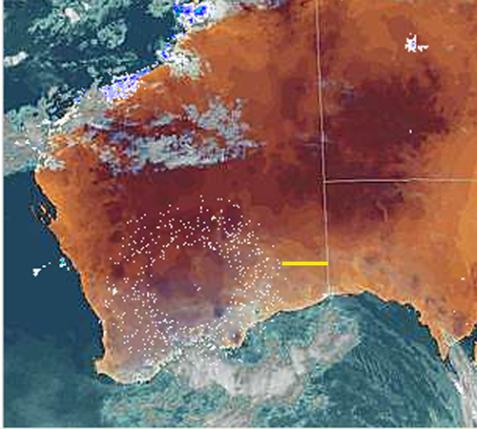
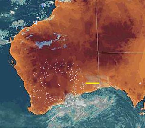
My contact sent me two additional photographs taken on the 16th (15th in the USA) and also at my request sent an inquiry to the weather observatory at Kalgoorlie and Giles in Western Australia and received this reply:
From: Kalgoorlie-Boulder Met Office (kalgoorlie_met@bom.gov.au)
Sent: Monday, 18 January 2010 7:18:17 PM
To: xxxx removed
Hi Allan,
Early Saturday there were sort of concentric circles of echoes between 200 Kms
and 400 Kms from Kalgoorlie-Boulder. However there was no weather around
this area from which radar signals might have been reflected. It would therefore
seem to be due to what is referred to as "anomalous propagation" (false
echoes) or even possibly dust in the atmosphere.
Regards, Andy, Kalgoorlie-Boulder Met. Office.


[Link][Link][Link][Link]