No weather alerts remain in place for the province but parts of Vancouver Island remain under high streamflow advisories.
The Englishman River and Little Qualicum River on Vancouver Island were under a flood watch following the downpour but Friday afternoon it was downgraded to a high streamflow advisory.
High stream advisories remain in place for part of Vancouver Island, the North Shore, Fraser Valley, Howe Sound and Sunshine Coast.
From 8 a.m., Wednesday, Jan. 2, to 9 a.m., Friday, Jan. 4, many areas of B.C. saw a huge dumping of snow.
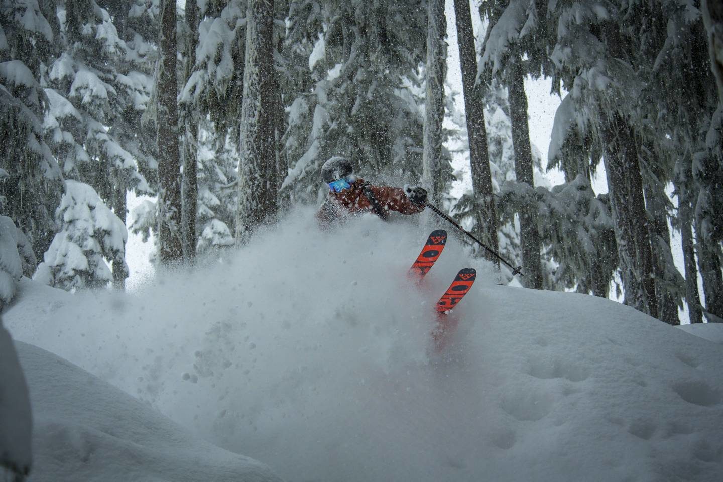
Fifty-three centimetres of snow fell in Whistler Village during that time, according to Environment Canada, adding to an already record-breaking December in the region.
Whistler Blackcomb says it saw a new snowfall record for the month of December, with 384 centimetres of fresh snow falling during the month. This beat a previous record set in December 1994, by four centimetres.
"It was a phenomenal holiday period and we've got a great base to start the season, particularly given the snow we've had in the first days of January. It took some time to arrive this season, but it's not letting up," Marc Riddell, Whistler Blackcomb & Northwest public relations director said in a release.
Whistler Blackcomb says about 74 centimetres of snow hit the mountains between Wednesday afternoon and Thursday this week, which also caused some chaos on Highway 99 for drivers trying to get to the village.
In other areas, Pemberton saw 27 centimetres of snowfall from 8 a.m., Wednesday, Jan. 2, to 9 a.m., Friday, Jan. 4. Rogers Pass received 47 centimetres, Revelstoke received 15 centimetres and Williams Lake received 14 centimetres.
The Trans-Canada Highway remains closed between Revelstoke & Golden due to extreme winter weather. Ministry of Transportation crews conducting avalanche control work. @DriveBC estimates highway re-opening at 8pm. @GlobalOkanagan pic.twitter.com/Je6jlCgLYp
— Klaudia Van Emmerik (@KlaudiaGlobal) January 3, 2019
Highway 1 between Revelstoke & Golden closed early Thursday morning due to the risk of avalanches as well as a multi-vehicle accident at Rogers Pass Summit. This is a look at the line of cars about 35 kms west of Revelstoke. @GlobalOkanagan pic.twitter.com/JI4UXEFQsC
— Klaudia Van Emmerik (@KlaudiaGlobal) January 3, 2019
Highway 1 — the Trans-Canada Highway between Revelstoke and the Alberta border — is now open to traffic, although winter weather conditions remain.
The route was shut down for about 11 hours following the snowfall.
Maintenance crews triggered avalanches and cleared the snow during that time to prevent a snowslide from falling onto the road and endangering the lives of travellers.
Avalanche control on #BCHwy1 east of #RevelstokeBC near Silver Creek Bluffs @tranbc @DriveBC #BCStorm #beprepared @EmconD #Avalance #snowsafety pic.twitter.com/i5iU3gix5G
— Rocky Mtn District (@TranBCRockyMtn) January 3, 2019
Rainfall records
In the Lower Mainland and Metro Vancouver, snow was not the problem but the region was pounded by rain.
In one 24-hour period on Wednesday, Jan. 3, 13 rainfall records were broken across the province.
Hit 60 mm so far since midnight. Crazy rain. #bcstorm pic.twitter.com/50Mz0srIbm
— Abbotsford Weather (@cwaughweather) January 4, 2019
Gibsons was another area of B.C. that also saw a record broken, which was set in 1984. The region recorded 46.6 millimetres of rain, with the previous record set at 43.8 millimetres.
In Pitt Meadows, 83.4 millimetres of rain was recorded, beating the previous record of 74 millimetres also set in 1984.
Avalanche warning
Avalanche Canada has issued warnings for B.C.'s South Coast and the Sea-to-Sky region Friday.
Many areas remain at high avalanche danger for Friday.
⚠️ Many areas remain at high avalanche danger for Friday and @ParksCanada are forecasting extreme risk in areas. Make good choices.
— Avalanche Canada (@avalancheca) January 4, 2019
Get the forecast for your area 👉 https://t.co/JwMaRhQejp #AvCan #KnowSnow pic.twitter.com/xhnIgOQ08c
Heavy snowfall, warm temperatures and high winds have led to an extreme avalanche risk in Banff, Yoho, Kootenay and Jasper national parks.
The daily avalanche bulletin for the mountain parks in Alberta and B.C. says they have received between 25 and 45 centimetres of snow in the past few days and it's overloading a weak layer from mid-December.
Officials say the danger rating forecast for today is extreme, which means people should avoid all avalanche terrain because natural- and human-triggered avalanches are certain.
Another 25 to 70 centimetres of snow is expected across the region before the storm ends Friday night.
-with files from Jon Azpiri and The Canadian Press


Reader Comments
to our Newsletter