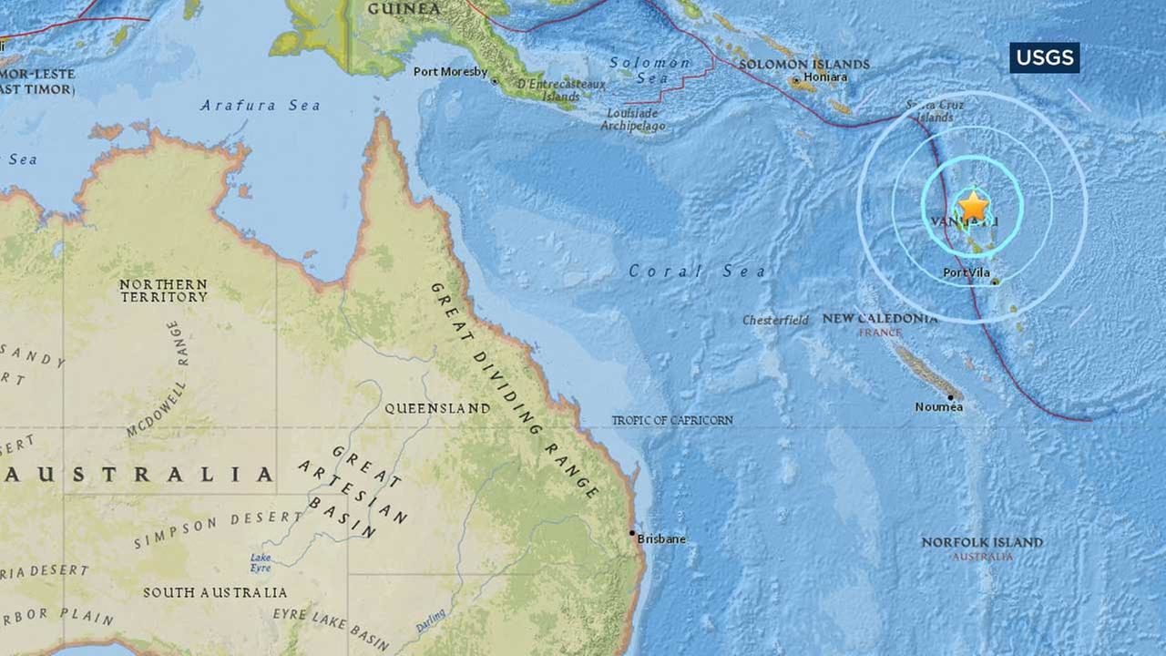
The quake was recorded at a depth of 175km and was located about 115km north of Vanuatu's Santo island, the USGS said.
There was no immediate tsunami warning or any reports of damage or casualties.
Vanuatu had been impacted in recent days by hurricane-force winds and heavy rain from Cyclone Donna, which reached Category 5 and was the strongest cyclone ever to form in the South Pacific in the month of May.


Reader Comments
to our Newsletter