OF THE
TIMES
A nation that continues year after year to spend more money on military defense than on programs of social uplift is approaching spiritual doom.
Ego must serve SOUL. Read this here by a poster yesterday. "Everyone has a plan until they get punched in the mouth" - Mike Tyson"
"it is meant to encourage men to come back to Ukraine" It actually sounds more like a threat than encouragement.
I read through all KRB and wrote, :O goodness, and all this before breakfast. 🙌 Here is my synthesis. Nature is relationship. Relationship of...
Wow. Such a bizarre statement to make about Mike Flynn when the truths about him, currently being exposed, are actually quite damning! Disgraced...
“The billionaire, who bought X in 2022 with a declared mission to save free speech, posted a meme on the platform that showed X stood for "free...
To submit an article for publication, see our Submission Guidelines
Reader comments do not necessarily reflect the views of the volunteers, editors, and directors of SOTT.net or the Quantum Future Group.
Some icons on this site were created by: Afterglow, Aha-Soft, AntialiasFactory, artdesigner.lv, Artura, DailyOverview, Everaldo, GraphicsFuel, IconFactory, Iconka, IconShock, Icons-Land, i-love-icons, KDE-look.org, Klukeart, mugenb16, Map Icons Collection, PetshopBoxStudio, VisualPharm, wbeiruti, WebIconset
Powered by PikaJS 🐁 and In·Site
Original content © 2002-2024 by Sott.net/Signs of the Times. See: FAIR USE NOTICE

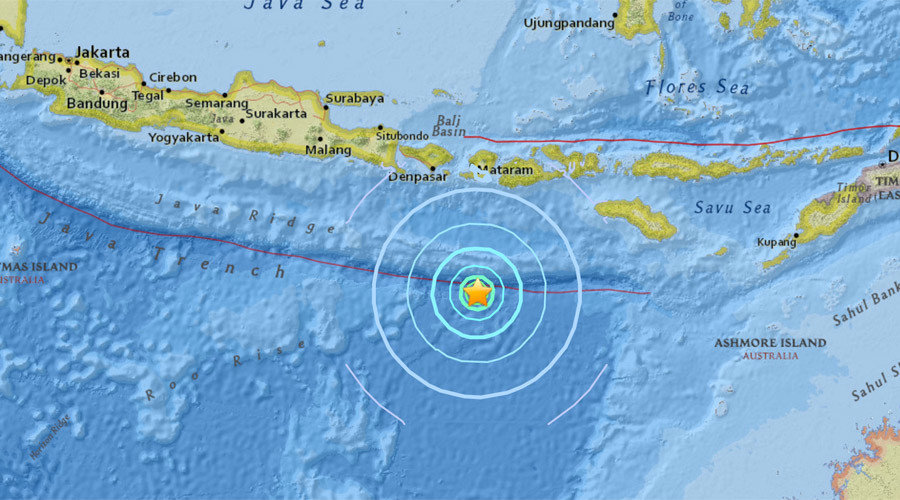
Comment: Only two days ago a 6.3 magnitude earthquake struck off Indonesia's eastern coast.