OF THE
TIMES
We'll know our disinformation program is complete when everything the American public believes is false.
The unilateral veto power is why the UN is a joke.
Im a big fan of evidence, so I asked Statistics Canada for the 2023 Deaths by Cause. Everything appears normal up to 2019, then... Here is the...
No sh*t. Every of those patients asked for it. Did they read the form they signed before getting the shot ? "Death" was explicitly mentioned as...
We can safely assume these 12 planes is all they have ...
Iran reports no damage after alleged Israel attack Considering the fact that they got Russian S-300 and lately S-400, cloned the former, and...
To submit an article for publication, see our Submission Guidelines
Reader comments do not necessarily reflect the views of the volunteers, editors, and directors of SOTT.net or the Quantum Future Group.
Some icons on this site were created by: Afterglow, Aha-Soft, AntialiasFactory, artdesigner.lv, Artura, DailyOverview, Everaldo, GraphicsFuel, IconFactory, Iconka, IconShock, Icons-Land, i-love-icons, KDE-look.org, Klukeart, mugenb16, Map Icons Collection, PetshopBoxStudio, VisualPharm, wbeiruti, WebIconset
Powered by PikaJS 🐁 and In·Site
Original content © 2002-2024 by Sott.net/Signs of the Times. See: FAIR USE NOTICE

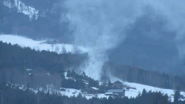
I once snowboarded a Snorenado.
It was a great day; conditions perfect, except for the wind.
A part of the mountain's fall line had matching gullies on either side which were almost 90 degrees off the prevailing NW winds.
I was competing in a Snowboarding Giant Slalom, at at that speed all you can really see is where you are going, and if clearly or not.
Next I knew, instead of taking the course's next right, I was inside a whirling vortex. I found myself being pulled up into it, into heights that would have scared Poe's least nervous narrators... (whatever that means).
I realized that I would keep going up, So I decided to pull a reverse 720 railgrab... and....
"The result was precisely what I had hoped it might be. As it is myself who now tells you this tale — as you see that I did escape — and as you are already in possession of the mode in which this escape was effected, and must therefore anticipate all that I have farther to say — I will bring my story quickly to conclusion."
I managed to board down INTO and upwards into the internal walls of the Snownado.
But as soon as I had done so, it had begun to move UP the mountain! I finally landed again at the starting gate, I thus lost 84 seconds in my final time, and, given that the snownado took me there via a shortcut across the second turn, (and as the ultimate insult), I was disqualified for having 'gone out of bounds!"
"But I now tell it to you — and I can scarcely expect you to put more faith in it than did the merry snowboarders of Lofoden."*
(T'was only then I realized that it was NO SNOWnado, but a SNOREnado, as it was just then I awoke.)
Such was my ASCENT "into the Maelstrom."
R.C.
(With apologies to E.A. Poe, A DESCENT INTO THE MAELSTRÖM, http://www.eapoe.org/works/mabbott/tom2t044.htm)
RC