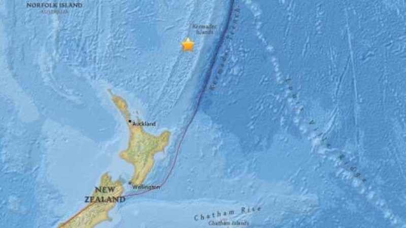
Geonet seismologist John Ristau said the tremors felt in Bay of Plenty, Tararua and Canterbury were not official earthquakes.
There had been reports that a 5.3 magnitude quake was recorded 35 km south of Murupara and that 5.0 magnitude quake struck 20 km north west of Pongaroa.
A third quake was said to have hit 15km south-west of Amberley.
The shakes weren't official earthquakes but ripple effects of a 6.6. earthquake near Raoul Island.
Geonet received more than 500 reports of people who had felt shakes, Mr Ristau said.
There would be few aftershocks because the earthquake was so deep, he said.
Old Shaky Isles living up to its reputation! A few #eqnz in the past 15 mins pic.twitter.com/BdE1p26aCS
— Paola Brett (@paolabrett) February 1, 2016
Several people have reported feeling the quakes on social media, in areas including Bay of Plenty and Wellington.
Fire Service and police northern communications have received no reports of damage.
A spokesman for the Murupara police said he was outside when the earthquake was recorded as happening and he didn't feel a thing. He said there had been no calls from members of the public.
A woman spoken to at Murupara Area School was also surprised to hear reports of a quake - saying she didn't feel anything and nobody at the school had felt the quake.
Hang on... So they were just false little troll quakes and not actual quake readings? #eqnz
— Jay Harvie (@JayHarvie) February 1, 2016


Reader Comments
to our Newsletter