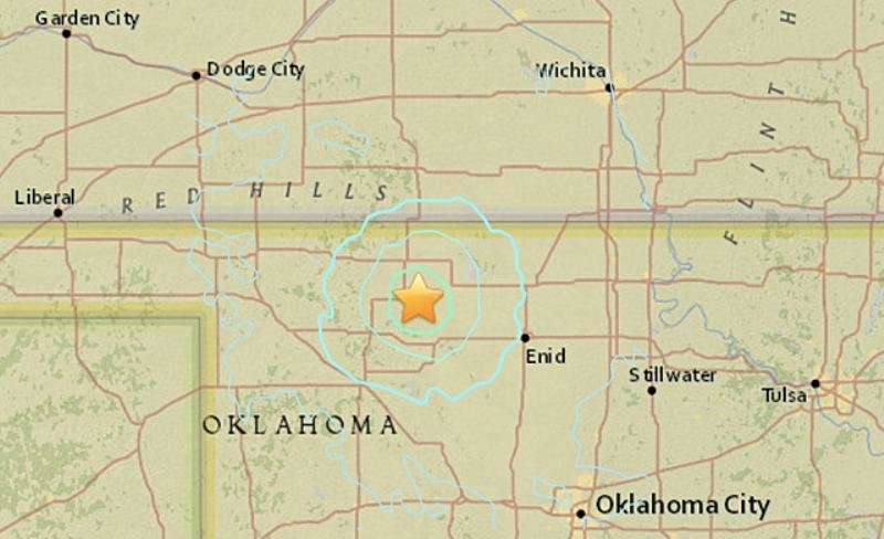
The quakes were recorded as magnitudes 4.7 and 4.8, respectively, the United States Geological Survey reported.
The larger temblor was centered 19 miles south-southeast of Alva, Oklahoma, west of Enid, at 10:28 p.m. CST, the USGS said. The first quake occurred 30 seconds before the larger quake near Fairview, Oklahoma.
Both were felt in Wichita, Kansas, where meteorologists from AccuWeather Enterprise Solutions were working.
"The tables shook pretty good as well as our computer screens. Really felt like the whole building was rumbling. We are on the seventh floor so it always seems like it's worse up here," Lead Meteorologist John Lavin said.
The quakes were one of six earthquakes to be reported within 90 minutes Wednesday night in Oklahoma, according to USGS data.


Comment: See also:
- Hundreds more earthquakes shake Oklahoma in 2015 setting new state record
- 40% of all major earthquakes located in the lower 48 states have occurred in Oklahoma
- A disaster waiting to happen in Oklahoma? The link between fracking and earthquakes is causing alarm in a town where oil storage is 'booming'
There is growing evidence that fracking and earthquakes are linked: