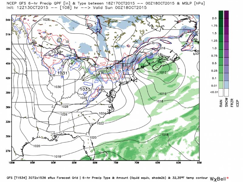
The high elevations of the Northeast may experience their first flakes of snow Saturday night as low pressure off the coast feeds moisture into the cold air funneling into the region.

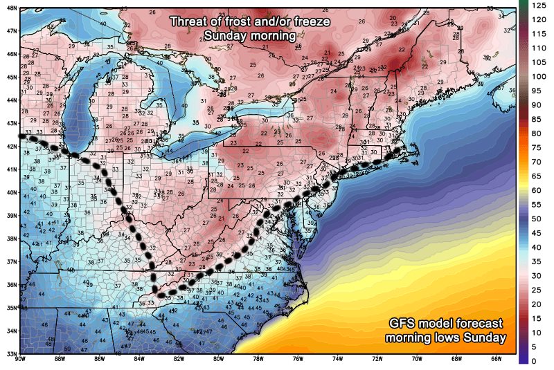
Many locations will experience their first frosts and/or hard freezes from the central Appalachians to the north and northwest.
On Sunday afternoon, highs will only recover into the 40s in Northeast and northern Great Lakes, and 50s in the Ohio Valley and Mid-Atlantic.
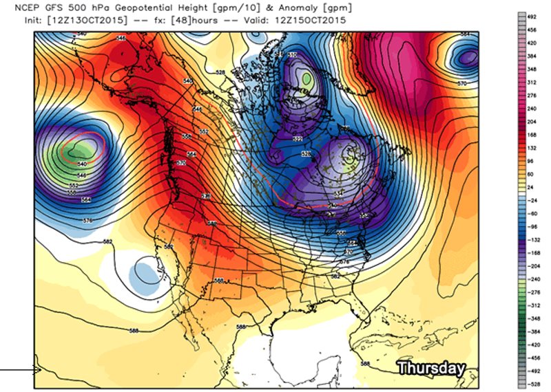
The cold snap is the result of a steep dip in the jet stream setting up over the eastern U.S. during the middle of this week but sharpening by the weekend. This pattern configuration will allow Arctic air to dive southward.
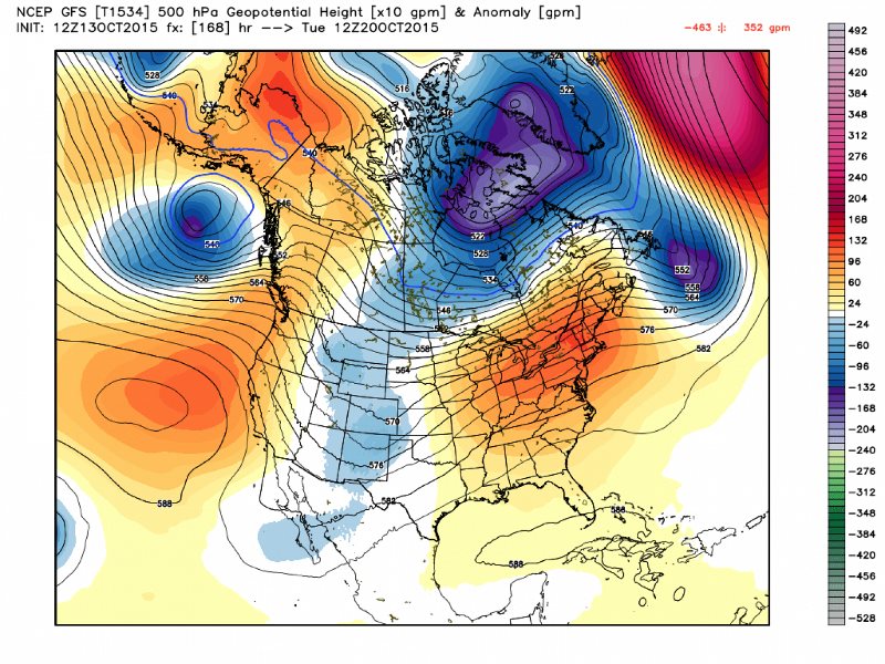
High altitude weather pattern simulated by GFS model shows big dip in the jet stream sharpening over the East this weekend. (WeatherBell.com)
The taste of winter weather will be short-lived, however, as milder air surges eastward by Tuesday and Wednesday of next week.


Comment: The wild temperature swings (both hot and cold) that have been recorded in the last decade could be construed as a breakdown of the weather patterns we have become accustomed to. Stay tuned!