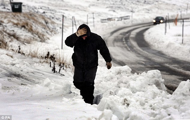
Australian meteorologists warned last week that Britain is set to be battered by fierce snowstorms and freezing temperatures that could affect food stocks as the first El Nino cycle for five years kicks in.
And now the Met Office has backed up these claims saying: 'It could be big, it's possible. We're getting a pretty strong signal.'
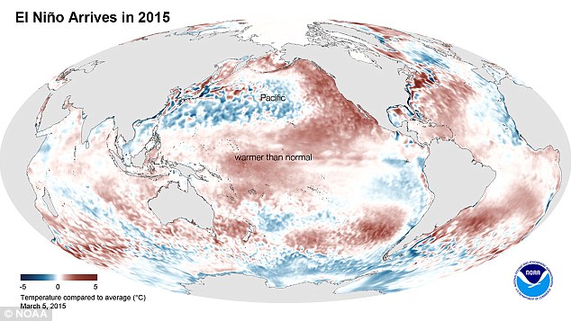
El Nino events occur on average every three to four years and are marked by a build up of warm water in the eastern Pacific off the coast of Ecuador.
They can have a major impact on weather systems and climate, reducing monsoon rainfall in many parts of the tropics, triggering droughts in India and Africa, and disrupting food production.
El Ninos do not tend to have a direct effect on the weather of northern Europe.
But large events, such as those that occurred in 1997/98 and 2009/2010, can set off an atmospheric chain reaction that weakens the jet stream, a ribbon of strong high wind known to have a big influence on our weather.
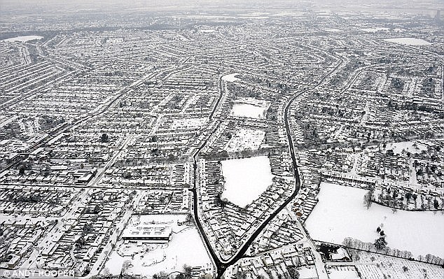
This can lead to bitter British winters that are dry but produce large amounts of snow.
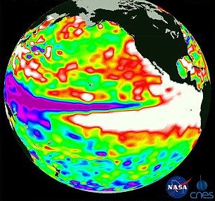
If this happens, food stocks could also be put under pressure because trade winds that circulate over waters in the tropical Pacific start to weaken causing sea surface temperatures to rise.
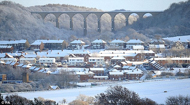
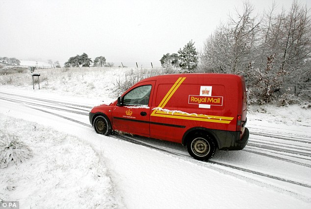
In 2010 the UK was swept by snow, ice and freezing temperatures the last time the phenomenon occurred.
The average temperature in December was the coldest in 120 years at -1C, while central England recorded its second coldest end-of-year month since the 17th century.
The last El Nino five years ago had a major impact with monsoons in Southeast Asia, droughts in southern Australia, the Philippines and Ecuador, blizzards in the United States, heatwaves in Brazil and killer floods in Mexico.
David Jones from the Australian Bureau of Meteorology's climate information services branch said: 'There's always a little bit of doubt when it comes to intensity forecasts, but across the models as a whole we'd suggest that this will be quite a substantial El Nino event.
Adam Scaife, head of long-range forecasting at the Met Office, said the biggest fallout from the event will be damage to crops.
He said: 'The latest forecasts suggest that at least a moderate event is likely and there is a risk of a substantial event.
'We continue to see weak El Nino conditions in the tropical Pacific.
'Predicting how this El Nino might develop is currently tricky because predictability is lowest at this time of year.
'However our climate forecasts show at least a continuation of El Nino conditions for the next few months.'
'It can have a huge impact on the Indian monsoon affecting crops and global prices of everything from coffee to the collapse of eastern fisheries.
'El Nino can cause breaks in the monsoon and drought while in eastern Australia there is a bigger risk of it being drier and warmer.
'The Peruvian fish industry can be devastated as the change in coastal wind direction prevents nutrient rich water rising leading to huge losses.'
He said it is too early to say definitively whether the UK would see a colder than average winter this year although did not rule it out.
He said: 'There is a small increase in the risk of a colder than average winter this year.
WHAT IS EL NIÑO?
El Niño is caused by a shift in the distribution of warm water in the Pacific Ocean around the equator.
Usually the wind blows strongly from east to west, due to the rotation of the Earth, causing water to pile up in the western part of the Pacific.
This pulls up colder water from the deep ocean in the eastern Pacific.
However, in an El Niño, the winds pushing the water get weaker and cause the warmer water to shift back towards the east.
This causes the eastern Pacific to get warmer.
But as the ocean temperature is linked to the wind currents, this causes the winds to grow weaker still and so the ocean grows warmer, meaning the El Niño grows.
This change in air and ocean currents around the equator can have a major impact on the weather patterns around the globe by creating pressure anomalies in the atmosphere.
The Japan Meteorological Agency also confirmed the phenomenon had begun and forecast it would continue into late 2015.
This year's pattern could create drier conditions in Indonesia, Papua New Guinea and parts of Southeast Asia.
In the past it has caused heavier-than-normal rainfall in the eastern Pacific and South America - raising the spectre of floods and landslides, while the southwest United States and southern Africa tend to be drier.
An El Nino is potentially a bad sign for large swathes of Australia, including the states of Queensland and New South Wales, which are already in the grip of severe drought.


With all the reports being tossed about, it's time to roll out the data.
Here is the history of El Ninos all the way back to 1980:
[Link]
Here is the latest on the current El Nino:
[Link]
At 1.99 on the scale of the top link, the last one this big was in 1998, when the west coast of the US got totally drenched.
Before that there was 1982, when outrageous amounts of snow fell on the Sierra's. Not to mention all the other unpleasantries that struck worldwide.
The Monsoons fail when El Nino hits.
So, look up your winters (Summers in S. Hemisphere) for 1982 and 1998 and prepare accordingly if you think this one will hit.