OF THE
TIMES
"While official science portrays the crazy weather, more frequent sinkholes, increased meteor fireball activity, and intensifying earthquakes as phenomena that are unrelated, research put together by Pierre and Laura strongly suggests that all this (and more!) is intimately connected and may stem from a common cause.SOTT Talk Radio show #70: Earth changes in an electric universe: Is climate change really man-made?
In times past, people understood that the human mind and states of collective human experience influence cosmic and earthly phenomena. How might today's 'wars and rumors of wars', global 'austerity measures', and the mass protest movements breaking out everywhere play into the climate 'changing'?"
A small body of determined spirits fired by an unquenchable faith in their mission can alter the course of history.
Did that include being chief fluffer for Big Mike :O The defendant held multiple roles in the Obama administration Fluffer (Wiki explanation) -...
Comment: One would be naive to think that those sex crimes against children only started once he left the White House. His sexual depravities were...
I see that they practice without the FAB 500 glide bombs being dropped on them :O "Everyone has a plan until they get punched in the mouth" - Mike...
“…Fears and deep-seated anxieties” are what create the need for power – and wars. But power is an illusion, no one can hold it forever. History...
Do they cover their faces so nobody notices that they aren't really Germans?
To submit an article for publication, see our Submission Guidelines
Reader comments do not necessarily reflect the views of the volunteers, editors, and directors of SOTT.net or the Quantum Future Group.
Some icons on this site were created by: Afterglow, Aha-Soft, AntialiasFactory, artdesigner.lv, Artura, DailyOverview, Everaldo, GraphicsFuel, IconFactory, Iconka, IconShock, Icons-Land, i-love-icons, KDE-look.org, Klukeart, mugenb16, Map Icons Collection, PetshopBoxStudio, VisualPharm, wbeiruti, WebIconset
Powered by PikaJS 🐁 and In·Site
Original content © 2002-2024 by Sott.net/Signs of the Times. See: FAIR USE NOTICE

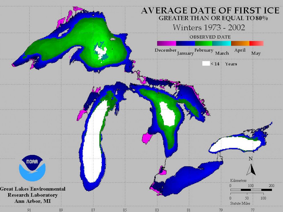
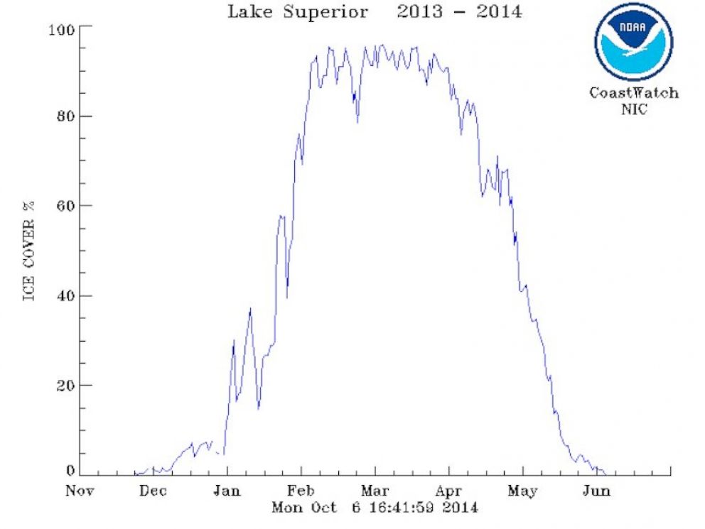
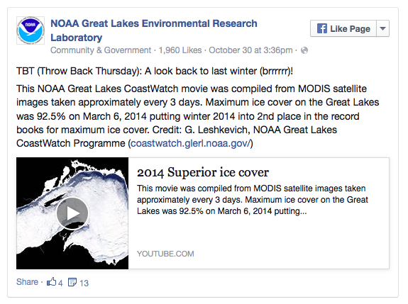
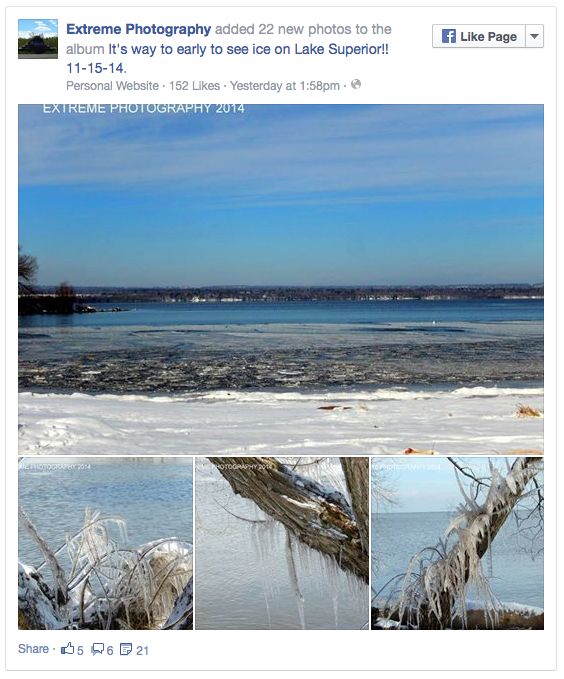
More about the mechanism of cooling you can find out here
"Icecaps on Mercury prove my Charge Field. - Miles Mathis"
[Link]