Storms
Sulawesi Island
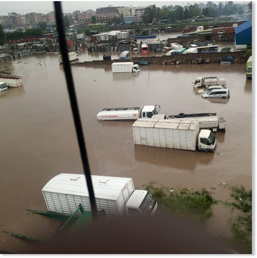
Hours of heavy rain late on 01 February 2023 triggered flooding in the city of Parepare. Flooding affected the districts of Ujung, Bacukiki, West Bacukiki and Soreng. Disaster authorities in the city reported the overflow of the Jawi-Jawi river in the Tegal area of the city in Ujung District. Flood waters in areas close to the river were around 1 metre deep.
Due to the tense avalanche situation in the Austrian province of Styria, several roads had to be closed Thursday night, according to daily Kronen Zeitung.
It also said numerous vehicles got stuck on the roadway due to snow. In the meantime, traffic jams of 10 kilometers (six miles) in length occurred.
According to the reports, 80 centimeters (34.5 inches) of fresh snow fell within 24 hours. On Friday morning, several smaller avalanches are said to have already gone off.

Wind Chill Warnings and Advisories have been issued for most areas across the Northeast in early February 2023
New England is preparing for some of the coldest air it's seen in five years as a "dangerous" polar vortex quickly moves into the Upper Midwest and Northeast, bringing sub-zero wind chills and plunging temperatures, FOX Weather reports.
Places like Chicago and Des Moines, Iowa, will be the first to experience the bitter cold Friday morning as morning temperatures are forecast to be in the negative single digits. Other areas in the Midwest, like Northern Minnesota, could even see temps in the negative 20s or 30s.
The highs across the Midwest will struggle to make it out of the single digits Friday afternoon.
Wind chills are expected to be even worse, with feels-like temperatures dropping all the way to negative 50 in some areas. FOX Weather reports frostbite and hypothermia can form on exposed skin in as little as 10 minutes in this type of "dangerous cold."
Texas has been bearing the brunt of a dangerous ice storm that dumped several rounds of sleet and freezing rain, causing life-threatening road conditions in surrounding states including Oklahoma, Arkansas and the Memphis area in Tennessee.
On Wednesday, Texas reported a third person had died during the storm after losing control of her truck on an icy road north of Eldorado. One person was killed in Austin in a 10-car pileup, and another person died after their car rolled over in the Dallas-area city of Arlington, officials said.
And while Thursday is expected to bring some relief from the deadly storm as temperatures slowly rise, the piling of multiple layers of ice and sleet has snapped tree branches and limbs and led to power outages for nearly 400,000 homes and businesses in Texas as of Thursday morning, according to PowerOutage.us. That means thousands of people likely don't have proper heating or hot water as ice coats the ground.

A lone driver makes their way through icy road conditions at the LBJ 635 Freeway and North Dallas Tollway interchange on Tuesday.
Dangerous road conditions from bands of sleet and snow were blamed for six deaths as a winter storm snarled traffic across parts of the US, forcing the cancelation of flights and leaving hundreds of thousands without power in several southern states.
Watches and warnings stretched from Texas to Tennessee and Mississippi. Several rounds of mixed precipitation, including freezing rain and sleet, were in store for many areas throughout Wednesday, meaning some regions could be hit multiple times, forecasters said.
"It actually looks like it's going to be getting worse again across Texas, it is already a pretty big area of freezing rain across western and south-western Texas," said Bob Oravec, National Weather Service lead forecaster in Camp Springs, Maryland.
Oravec said the winter weather was expected to move north-east across parts of Oklahoma and Arkansas into western Tennessee and northern Mississippi, before starting to end.
The sun didn't bring much warmth.
NOAA reports showed wind chills of -50ºF and air temps of -18ºF.
The Tetons just received the most snow they've ever recorded in any 2 day period.
41″ in 48-hours
50″ in 50-hours.
52″ storm total.
As many as 68 flights to and from Srinagar were cancelled and the Srinagar-Jammu national highway was closed following heavy snowfall in Kashmir and the upper reaches of Jammu on Monday morning. The NH was shut due to shooting stones and mudslides at several places between Chanderkot and Banihal.
In Himachal, 496 roads were closed due to heavy snow, with the Manali-Keylong road completely blocked. Daily life was thrown out of gear in Shimla, Lahaul and Spiti and Kinnur districts where 180, 158 and 73 roads, respectively, were blocked, while 908 power transformers and water supply were also affected.
Flood Watches remain in effect for most of the islands into Monday evening as a strong area of low pressure soaks the state from east to west, dropping several inches of rain on some of the islands, or in a few cases, more than 2 feet of rain.
Rainfall totals widely vary depending on terrain and whether it faces the wind, but on Maui and Molokai, some storm totals have reached 17 to 25 inches on the windward side of the mountains. Kahului and Wailuku reported 3 to 6 inches over the past 72 hours.
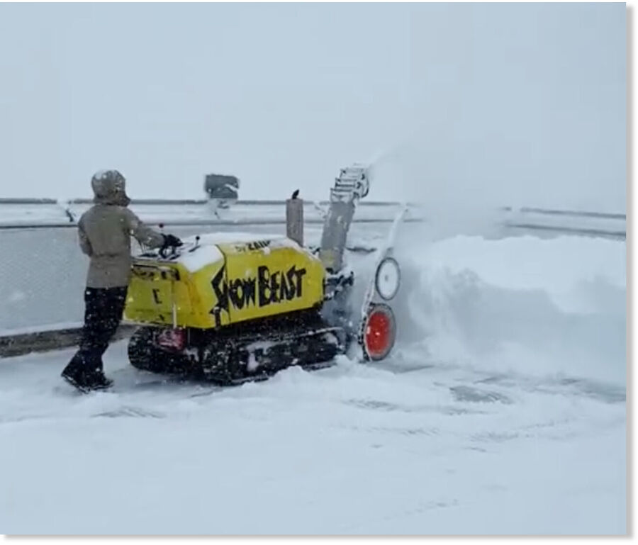
"We're hearing reports of up to 7 feet of powder up near the top of the range," Hunter Wright, director of operations at Albany Lodge, told Cowboy State Daily on Monday.
"It's gotten so deep in places, people are even getting stuck out on the flats," he said, adding that 4-5 feet of powder has been reported across most of the Snowy Range's extensive snowmobiling network.

Schools are closed, traffic is difficult and sometimes impossible, even for emergency services.
Cyclone Cheneso continues to hit the island with more than 15,000 people affected to date.
"I left my house because it was destroyed by the strong winds of the cyclone. The house tilted, so I ran away. My house was totally destroyed," said flood victim Bonne Fehy.
Comment: Update January 30
From the same news source:
Tropical storm in Madagascar: At least 25 dead, roads flooded and crops destroyed
Two dozen Madagascans have died and tens of thousands been left homeless since a severe tropical storm made landfall last week and swirled for days off the island's western coast, official records showed Sunday.
Cyclone Cheneso smashed into northeastern Madagascar 10 days ago, bringing heavy winds and triggering downpours that have caused extensive flooding.
Over the week it has tracked south-eastwards, extending damage to houses, schools and cutting off several national roads.
Twenty-five people are now known to have died and 21 others are still missing, according to an update from Madagascar's risk management office.
At least 83,181 people have been affected, with nearly 38,000 displaced from their homes.
Cheneso -- which temporarily intensified to a tropical cyclone in recent days with winds of 118-166 kilometres per hour (73-103 miles per hour) -- "has started to lose its purely tropical characteristic," according to the southwest Indian ocean Regional Specialist Meteorological Centre based in the French overseas island of La Reunion
Storm Cheneso made landfall on January 19, packing winds of up to 110 kilometres per hour.
It is the first tropical storm of the current cyclone season in southern Africa -- which typically runs from November to April -- to hit the cyclone-prone large Indian ocean island.
Comment: Further south in the same state: Storm dumps 7 FEET of snow over weekend at Snowy Range, Wyoming