Wildfires
Christian discusses the esoteric significance of Paradise burning, questions the nature of these latest wildfires, and warns that these emotionally charged headlines will fuel calls for censorship of "dangerous climate deniers."
Sources
"We are doing everything we possibly can to identify those remains and make contact with the next of kin so we can return the remains to the family," said Butte County Sheriff Kory Honea Saturday morning.
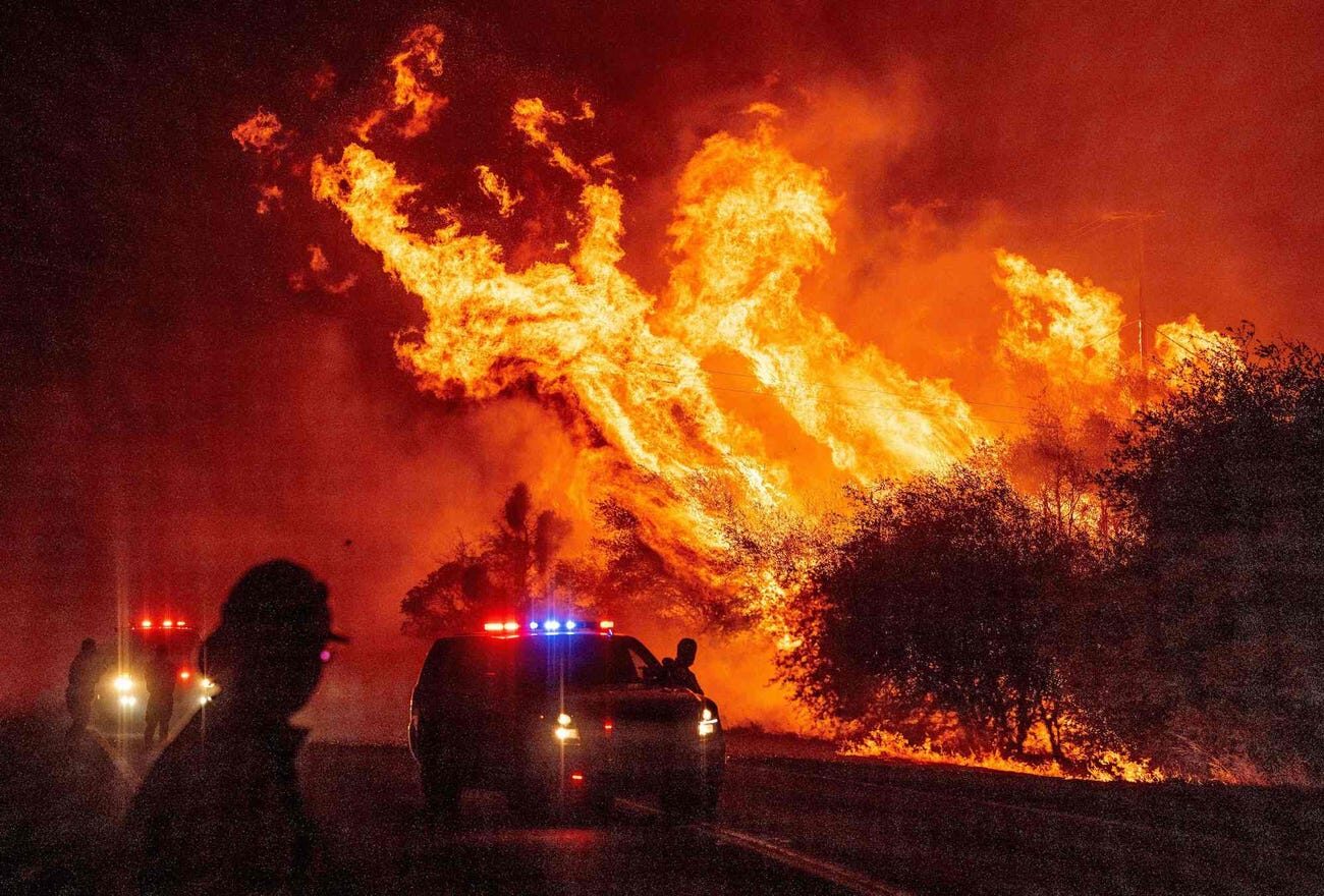
Fanned by high overnight winds, multiple fires have ripped through the state of California in recent days. In Northern California, a blaze visible by satellite consumed the town of Paradise on Thursday and had burned nearly 110 square miles by Friday morning.
The director of the California Governor's Office of Emergency Services told AP that the fire has claimed lives, but that the number of deaths is still unknown. The blaze sent residents fleeing, and currently threatens the city of Chico, home to 90,000 people.
Parts of the city have been evacuated, as firefighters struggle to contain the inferno at the city limits.

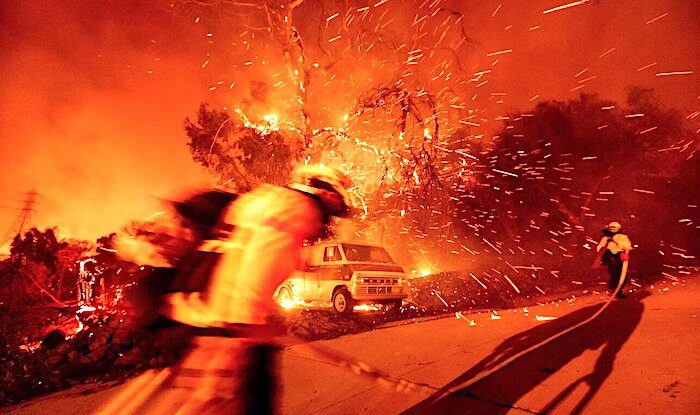
A wildfire comes down from a hilltop Thursday, Nov. 8, 2018, near Newbury Park, Calif. The Ventura County Fire Department has ordered evacuation of some communities in the path of the fire, which erupted a few miles from the site of Wednesday night's deadly mass shooting at a Thousand Oaks bar.
7:25 a.m.
A raging Southern California wildfire has triggered a mandatory evacuation order for the entire beachside city of Malibu.
The fire broke out Thursday northwest of Los Angeles and roared southward, jumping the U.S. 101 freeway early Friday and sweeping into the Santa Monica Mountains.
Malibu has about 13,000 residents and lies along 21 miles (34 kilometers) of coast at the southern foot of the mountain range.
The Los Angeles County Fire Department tweets that the fire is headed to the ocean, punctuating the message with the declaration: "Imminent threat!"

All of Paradise, a town of about 27,000 people 180 miles (290 kilometers) northeast of San Francisco, was ordered to evacuate
Tens of thousands of people were ordered to evacuate a fast-moving wildfire that exploded in size Thursday, threatening several Northern California communities and forcing panicked residents to race to help neighbors who had to drive through walls of flames to escape.
The Camp Fire burning in Butte County has torched at least 8,000 acres as of Thursday afternoon, according to Cal Fire. It was not immediately known if there were injuries or fatalities.
"It's a very dangerous and very serious situation," Butte County Sheriff Kory Honea told The Associated Press. "I'm driving through fire as we speak. We're doing everything we can to get people out of the affected areas."
A pregnant woman, two toddlers, and a baby are among the fatalities.
"The fire remains active on the slopes," Lauren Howard from Working on Fire said about their operation in the mountainous suburb.
The Garden Route is a 300km (185 mile) scenic stretch of road popular with tourists.
It is not clear whether any foreign nationals have been affected by the fires.
George city officials say at least 200 residents have been moved to a hall and that three suburbs, housing more than 1,500 people, have been evacuated as a precaution.
Comment: The following article is awash in global warming hysteria and its predicted catastrophes. Just remember when reading this that although sea levels have been slightly rising, that trend may be reversing. Ice is now growing at both poles (except for areas such as West Antarctica, where undersea volcanoes are providing a heat source) and scientists have noted that the earth is undergoing a major cooling event; many are warning that we are facing an impending ice age. Yes, coastal areas are flooding (and so are other areas). These 'once in a lifetime' floods that are becoming increasingly common along with other extreme weather patterns have nothing to do with rising CO2 levels or man-made global warming, but are part of a natural cyclical pattern. For a much more comprehensive explanation of these changes, read Earth Changes and the Human-Cosmic Connection - a review can be found here.
After her house flooded for the third year in a row, Elizabeth Boineau was ready to flee. She packed her possessions into dozens of boxes, tried not to think of the mold and mildew-covered furniture and retreated to a second-floor condo that should be beyond the reach of pounding rains and swelling seas.
Boineau is leaving behind a handsome, early 20th-century house in Charleston, South Carolina, the shutters painted in the city's eponymous shade of deep green. Last year, after Hurricane Irma introduced 8in of water into a home Boineau was still patching up from the last flood, local authorities agreed this historic slice of Charleston could be torn down.
"I was sloshing through the water with my puppy dog, debris was everywhere," she said. "I feel completely sunken. It would cost me around $500,000 to raise the house, demolish the first floor. I'm going to rent a place instead, on higher ground."
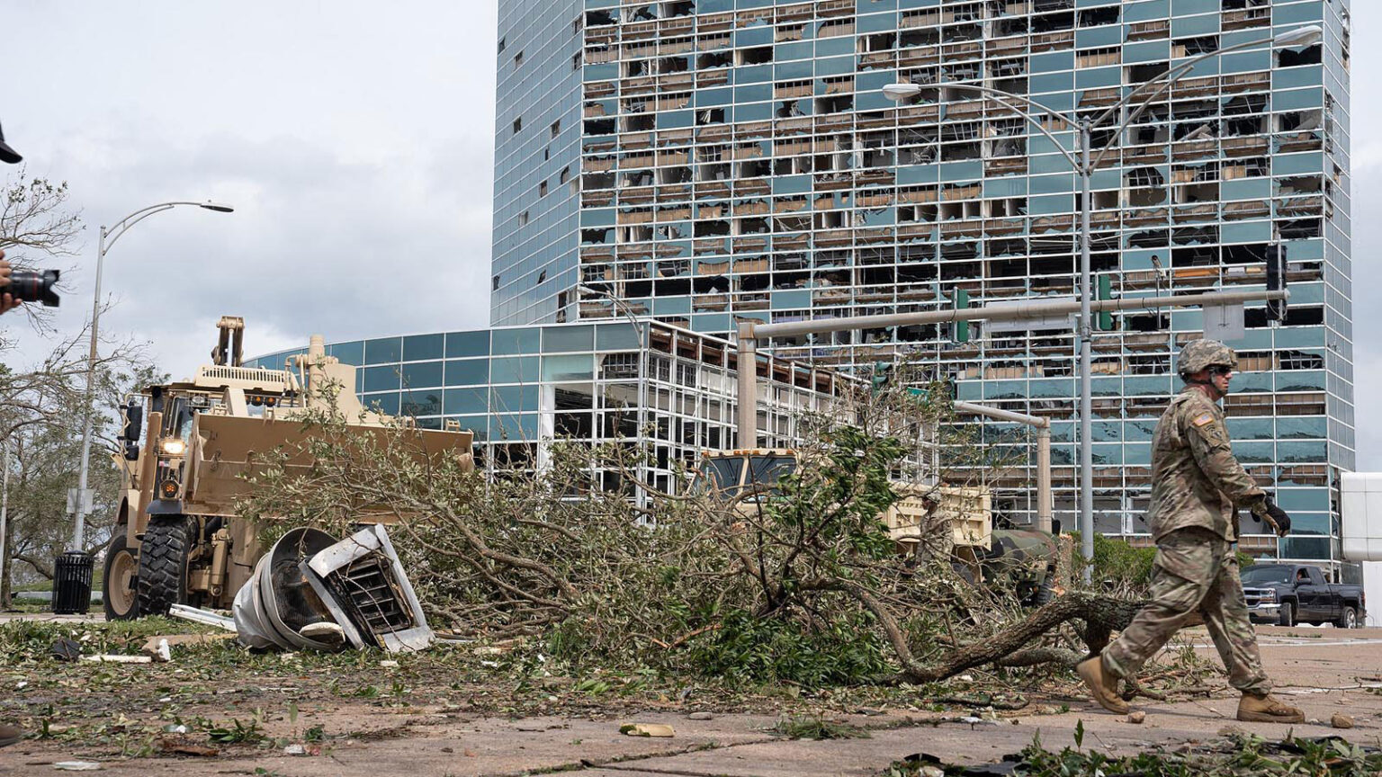
Millions of Americans will confront similarly hard choices as climate change conjures up brutal storms, flooding rains, receding coastlines and punishing heat. Many are already opting to shift to less perilous areas of the same city, or to havens in other states. Whole towns from Alaska to Louisiana are looking to relocate, in their entirety, to safer ground.
Comment: People might want to consider moving away from low-lying coastal areas due to the threat of extreme storms, but as mentioned above there is no evidence to suggest that 'global warming' is behind these weather patterns. Extremes of both heat and cold have been witnessed and are all part of a natural process that cannot be halted by ludicrous schemes to reduce greenhouse gasses.
- Earth's surface cooling 'dramatically', creating hurricane threat to US East Coast
- NOAA's own data reveals that global climate has cooled over 10 years
- Swedish climatologist explains that the climate is self-regulated and the outlook is very cold
- Anthropogenic global warming is a premeditated crime against science
- Intense, frequent storms of The Little Ice Age
- Massive flooding in Europe during the Little Ice Age

BC Wildfire Service crews encounter a "fire whirl" while fighting a wildfire near Vanderhoof, B.C. on Aug. 19.
Video captured and posted to social media shows firefighters dealing with a huge blaze near Vanderhoof on Aug. 19, including a fire whirl or fire tornado.
The firefighters were battling the Chutanli Lake wildfire, currently estimated at 20,813 hectares. It is now 95 per cent contained.
The video, posted on Instagram, was shot by a wildland firefighter, who is part of the Mackenzie Unit Crew.
"Fire tornado destroyed our line," she writes. "It threw burning logs across our guard for 45 minutes and pulled our hose 100-plus [feet] in the air before melting it. That's definitely a first."
In the video, a firefighter can be seen grabbing their hose, which is being pulled high into the air by the fire. A second firefighter rushes in to help.
Comment: Also in British Columbia, Canada this week, according to reports and footage sent to Environment Canada, there is a possibility that an extremely rare tornado formed near Hayward Lake in Lower Mainland, B.C. on September 16. If confirmed, this will be the 5th tornado in British Columbia over the past 15 years.
An increasing number of waterspouts, 'firenados' and dust-devils also made their appearance around the world this August. Once a rare phenomenon, waterspouts are increasingly common these days in some areas. At the same time, vortexes of water, fire and dust are appearing in very unusual places.SOTT Earth Changes Summary - August 2018: Extreme Weather, Planetary Upheaval, Meteor Fireballs
The B.C. government has extended the provincial state of emergency because of wildfires that have now burned more area than any other season on record.
As of Tuesday, more than 12,984 square kilometres of the province had burned, pushing past the previous record set just one year earlier.
As 534 fires continued to burn on Wednesday morning, the province announced that it has extended the state of emergency through to the end of the day on Sept. 12. About 3,200 people have been removed because of the wildfires, and another 21,800 are on alert.

The experimental map created by the NOAA shows the current movement of the smoke across the U.S. This map (10am EDT on August 20, 2018) comes from NOAA and is an experimental model showing both upper level on near-surface smoke.
An experimental map created by the NOAA shows the current movement of the smoke across the U.S.
The West Coast of the United States is shrouded in smoke from the 110 large fires (this does not include smaller fires within each complex of fires) that have erupted across the region during this fire season.
Over 1.9 million acres are or have been ablaze, and smoke from these fires have traveled along the west to east jet stream and are bringing that smoke across the country as far as the East Coast,' NASA said.
Comment: Update 10 November
The Telegraph reports: More footage of the devastation: