Wildfires
S


Fire

Evacuations ordered and highways closed as Erskine wildfire spreads quickly in central California

erskine fire kern county CA
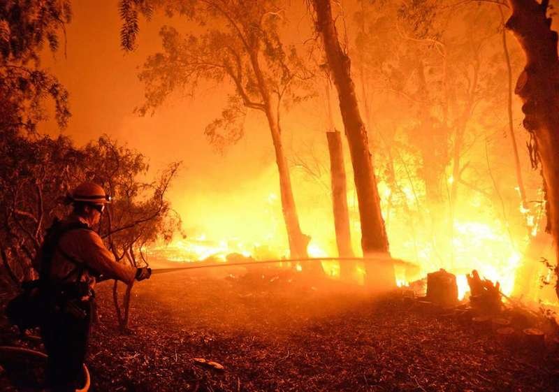
Erskine Fire in Kern County, Calif., June 2016
A fast-spreading fire in central California has destroyed at least 80 buildings and is threatening 1,500 more, prompting the evacuation of 10 neighborhoods, the authorities said Thursday night.

The fire three hours north of Los Angeles—dubbed the Erskine fire—had spread to an estimated 5,000 acres (20 square kilometers), prompting the mobilization of hundreds of firefighters, the news website Inciweb said.

The authorities closed several highways and evacuated two schools and a retirement home in the agricultural and oil region after the blaze started Thursday afternoon due to unknown causes.

The blaze is "extremely dangerous, extremely volatile," Kern County Fire Captain Tyler Townsend told the Los Angeles Times. "It's one of the most devastating I've ever seen."

Comment: Could 2016 be California's worst wildfire season?


Fire

Record-breaking heat wave takes four lives as it scorches Southwest U.S.

wildfire yarnell AZ evacuations
© Gene Blevins / Reuters
At least four people have died in a record-setting heat wave that has engulfed the southwestern United States. The deaths occurred in Arizona, where the temperature hit 120 degrees in some places. More than 30 million people are currently under heat warnings or advisories.

The Red Cross defines a heat wave as "a prolonged period of excessive heat, generally 10 degrees or more above average, often combined with excessive humidity." In Phoenix the thermometer climbed to 118 degrees, nearly hitting the city's all-time record of 122 degrees—so hot a Mesa Airlines flight to the city on Sunday was routed back to Texas.

"There'll be a bunch of records broken again today," said CNN meteorologist Chad Myers. "It's not even cooling down at night—that's another part of the problem." The record temperatures are making it the hottest-ever start to summer in Arizona, New Mexico and California, said CNN meteorologist Pedram Javaheri.


Comment: Further reading: Deadly 'heat dome' scorching the Southwestern United States


Fire

Western wildfires triple in size; evacuations ordered in at least three states

wildfire chilili
© Roberto E. Rosales/The Albuquerque Journal via APResidents of the town of Chilili along state road 337 begin to evacuate due to the Dog Head wildfire near the Manzano mountains, Wednesday, June 15, 2016, in Chilili, N.M.
Major wildfires burning across the West have consumed tens of thousands of acres and forced evacuations in at least three states. In New Mexico, one particular wildfire exploded in size on Thursday.

Dry conditions are hampering firefighting efforts in a region that's expected to see dangerous and potentially deadly heat over the weekend and into early next week.

"Humidity values less than 15 percent and dew points as low as the single digits will be present and persistent across a large portion of the Southwest through at least Sunday," said weather.com meteorologist Jonathan Belles.

Fire

'Firenado' spotted inside California's Sherpa wildfire which has tripled in size

Firenado in Sherpa wildfire, California
© YouTube/Focus Tv (screen capture)
A wildfire in Southern California spawned a fire whirl, also known as a firenado or fire tornado.

A fire whirl is a "spinning vortex column of ascending hot air and gases rising from a fire and carrying aloft smoke, debris and flame," according to the Bureau of Land Management's Glossary of Wildland Fire Terminology.

Fire whirls range in size from less than 1 foot to more than 500 feet in diameter," the glossary said. "Large fire whirls have the intensity of a small tornado."

These fire whirls can form in any size fire, but they are most destructive in large ones. Created by cool air rushing to take the place of hot air, the whirl's spinning can hurl embers and sparks great distances. Whirls usually intensify a wildfire.

Fire whirls are more likely to occur where winds are forced to change directions, such as near a grove of trees.

Thursday's firenado occurred during the Sherpa Fire, which has burned about 1,400 acres west of Santa Barbara, Calif. Authorities evacuated 400 homes and businesses, Reuters reported.


Comment: The Sherpa fire has grown to nearly 6,000 acres after it tripled in size yesterday. Officials described the blaze as 20% contained as a hot, windy weekend looms. See also:

Could 2016 be California's worst wildfire season?


Fire

Wildfires: Goleta, CA; Arizona; Utah; New Mexico

Firefighter blaze
© Mike Eliason, APSanta Barbara firefighter knocks down flames as they approach a ranch near Las Flores Canyon west of Goleta, CA.
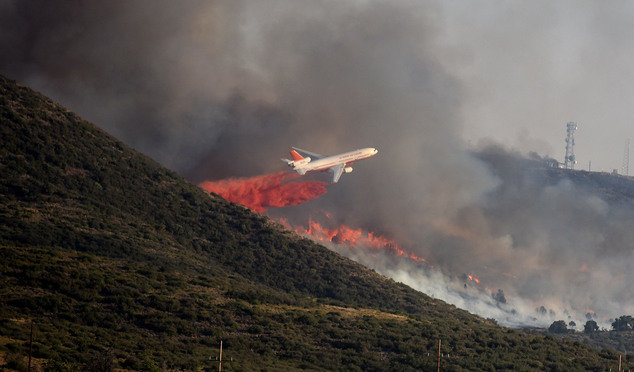
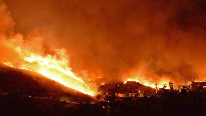
A fleet of aircraft dropped water and retardant to combat a wind-driven wildfire burning out of control Thursday in rugged coastal canyons west of Santa Barbara, where hundreds of campers, some rural homes and an oil processing facility evacuated as the flames crept toward the ocean.

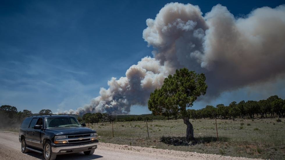
Strong gusts and rising temperatures across the dry Western U.S. also worsened wildfires in other states. A blaze in central New Mexico exploded to nearly 19 square miles and forced residents of some small communities to flee after sending up a towering plume of smoke that blanketed the state's largest city in a thick haze. Some structures have burned, but it's not clear whether they were homes.

In eastern Arizona, a small community was evacuated and thousands of other residents were told to prepare to leave after a wind-whipped wildfire charred more than 12 square miles. Blazes also threatened homes in Utah, where a firefighter hurt his head in a fall.

Shirpa Fire
© Mike Eliason, APThe Shirpa Fire races down the canyon area near the ExxonMobil Oil Processing Facility.
The weather was expected to pose problems for crews in those states and California, where flames that ignited Wednesday afternoon chewed through nearly 2 square miles of dry brush in an area that has not burned in some 70 years.

Winds gusting to nearly 40 mph pushed the fire through canyons and close to a few ranch homes and an ExxonMobil crude oil processing facility that employs about 250 workers. No structures were damaged, and no injuries were reported. ExxonMobil evacuated non-essential employees from the Las Flores Canyon site, and those that remained through the night helped protect it against the flames, company spokesman Todd Spitler said.


Fire

Dozens evacuated as fast-burning forest fire sparks in Manzano Mountains, New Mexico

Manzano mountains wildfire
© Adolphe Pierre-Louis/JournalA tanker drops fire retardant on a forest fire near the Fourth of July Campground in the Manzano Mountains on Tuesday.
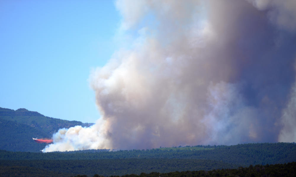
An uncontained forest fire is rapidly burning about 30-acres in the Manzano Mountains near the Fourth of July campground, according to U.S. Forest Service and Albuquerque fire officials.

A Forest Service spokeswoman confirmed Tuesday evening that residents on Camino del Norte and La Parra Road in the Chilili area have been ordered to evacuate.

Donna Nemeth, a spokeswoman for the Cibola National Forest, said the fire is burning in an area previously used for logging. That means there is lots of dry fuel on the ground, and the fire is spreading quicker than normal.

Arlene Perea, of the Mountainair Ranger District, said officials aren't sure how the fire started.

Bug

Wasps and hornets swarm into Fort McMurray in wake of wildfire

Stinging creatures, like this yellow jacket are swarming around Fort McMurray.
© MINDEN PICTURES/CORBISStinging creatures, like this yellow jacket are swarming around Fort McMurray.
During the weeks when Alberta's oilsands city was a ghost town, swarms of wasps and hornets moved in

A buzzing anxiety has gripped the city of Fort McMurray.

A black mass of wasps, hornets and all kinds of stinging insects have swarmed into the northern Alberta community.

People who have returned to the wildfire-ravaged city have been terrorized by the pests, and social media is humming with close-encounters
, and tips about the best extermination methods.

Nests have cropped up on countless porches and patios; some colonies have even made themselves at home inside long-abandoned homes.

When the raging wildfire called "The Beast" pushed residents out last month, the stinging insects moved in.

Pete Petipcoe/Facebook

Fire

Hundreds evacuated as wildfire rages near Yarnell, Arizona

wildfire near Yarnell, Arizona June 2016
© Les Stukenberg/The Daily Courier via APA brush fire burns in Yarnell, Arizona, Wednesday, June 8, 2016.
Hundreds of people evacuated their homes as a wildfire raged near the Arizona town where a 2013 blaze killed 19 members of an elite firefighting crew.

Bureau of Land Management spokeswoman Dolores Garcia said 250 to 300 people left their homes in the town.

The fire grew to 600 acres, but crews expected it to ease somewhat during the overnight with cooler temperatures and higher humidity.

There have been no reports of injuries, the Yavapai County sheriff's office said.

About 140 firefighting personnel were battling the blaze, supported by three air tankers and two helicopters making blaze suppression drops. Garcia said three unoccupied buildings have burned but no homes have been lost near Yarnell, about 60 miles northwest of Phoenix.

The cause of the blaze was being investigated, but Garcia said crews had ruled out lightning.

It was burning south and east of the site of the Yarnell Hill Fire in which members of the Granite Mountain Hotshots died when they got trapped by the flames nearly three years ago — the deadliest U.S. tragedy for wildland firefighters in several decades.


That lightning-caused wildfire destroyed nearly 130 homes in the area.

On Wednesday, some Yarnell homeowners said they saw smoke and received a voluntary evacuation notice on their cellphones.
Comment: Arizona burning? State officials warn of 'potentially significant wildfire season'


Fire

At least 9 wildfires in Oregon sparked by lightning in one day

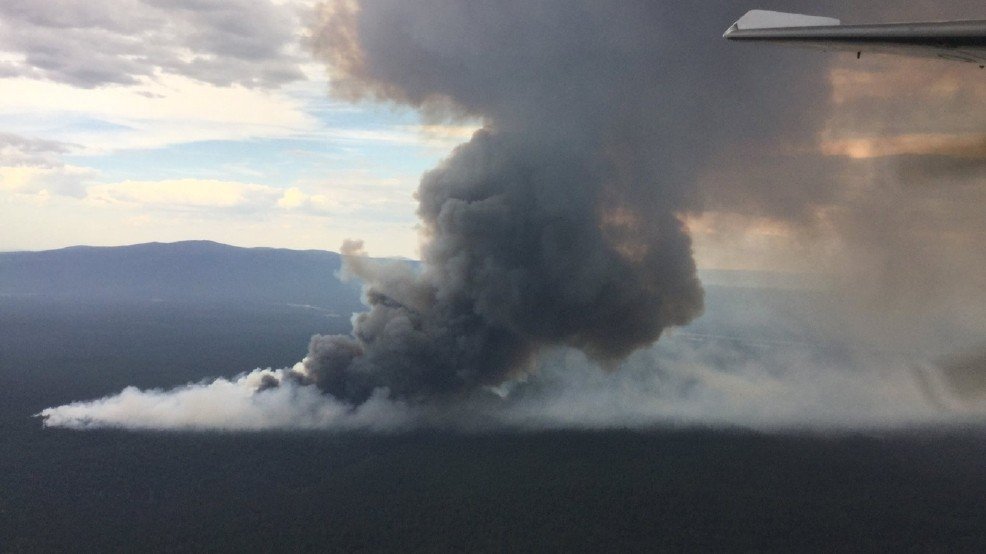
The smoke plume from the Draw Fire as seen from the air on June 6, 2016.
© South Central Oregon Fire Management PartnershipThe smoke plume from the Draw Fire as seen from the air on June 6, 2016.
Wildfires sparked by lightning Sunday continue to burn in southeast and south central Oregon as firefighters faced unfavorable hot and windy weather conditions.

The Owyhee Canyon Fire south of Jordan Valley has burned over 20,500 acres, according to fire officials. The fire is 50 percent contained, but the weather forecast could be a problem.

"Wind and lightning are expected today and could frustrate suppression and containment efforts," fire managers said in a report Tuesday morning.

Twenty miles northeast of Chiloquin in south central Oregon, fire crews are working the 500 acre Draw Fire. It's the largest of about 7 fires sparked by lightning there on Sunday. The other blazes were kept to 3 1/2 acres or smaller, the USDA Forest Service said.

Fire

Could 2016 be California's worst wildfire season?

 A helicopter makes a water drop on a fire in Calabasas, California.
© Gene Blevins / Reuters A helicopter makes a water drop on a fire in Calabasas, California.
Consecutive years of drought have killed more tress, and recent rains have added to grass growth, which provides quick fuel for fires.

Five years of drought have dried up California's forests and the first six months of this year has seen twice as many acres burned as the same time in 2015, the Los Angeles Times reported.

By Monday, about 400 firefighters working on the ground and in helicopters had extinguished one blaze in Calabasas, a neighborhood on the edge of Los Angeles. On Tuesday at least two other large fires in the state burned, as the Times reported:
In the north, crews tackled the 3,200-acre Coleman fire as it tore through Los Padres National Forest, threatening several homes. Farther south in Calabasas, residents left their homes as flames consumed more than 500 acres. Fast-approaching flames forced a bride, groom and their guests to act quickly and move their entire wedding at the Inn of the Seventh Ray in Topanga Canyon to a nearby beach.